Waynesboro in Franklin County, Pennsylvania — The American Northeast (Mid-Atlantic)
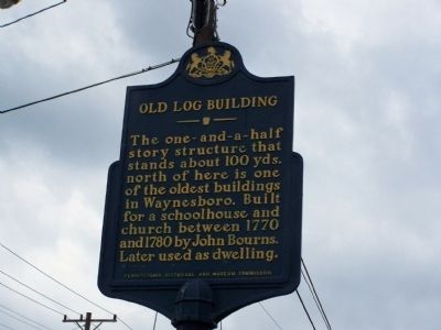
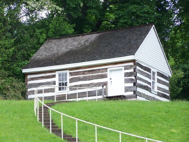
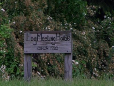
Old Log Building
Erected 1955 by Pennsylvania Historical and Museum Commission.
Topics and series. This historical marker is listed in these topic lists: Churches & Religion • Colonial Era • Education • Settlements & Settlers. In addition, it is included in the Pennsylvania Historical and Museum Commission series list. A significant historical year for this entry is 1770.
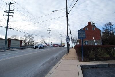
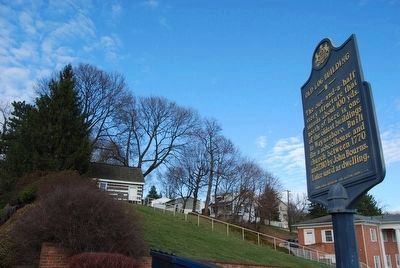
Location. 39° 45.125′ N, 77° 34.256′ W. Marker is in Waynesboro, Pennsylvania, in Franklin County. Marker is at the intersection of E. Main Street and Roadside Ave., on the right when traveling west on E. Main Street. Touch for map. Marker is in this post office area: Waynesboro PA 17268, United States of America. Touch for directions.
Other nearby markers. At least 8 other markers are within walking distance of this marker. Gettysburg Campaign (within shouting distance of this marker); John Wallace, Jr. (approx. 0.2 miles away); Nearby On This Tract of Land Called Mount Vernon (approx. ¼ mile away); Cupola – Waynesboro’s Crown Jewel (approx. 0.3 miles away); To All Veterans (approx. 0.3 miles away); Waynesboro Memorial Park Memorials (approx. half a mile away); American Revolutionary War Memorial (approx. half a mile away); Korean Casualties of Franklin County (approx. half a mile away). Touch for a list and map of all markers in Waynesboro.
Credits. This page was last revised on December 5, 2019. It was originally submitted on May 29, 2008, by Bill Pfingsten of Bel Air, Maryland. This page has been viewed 1,470 times since then and 43 times this year. Photos: 1. submitted on May 29, 2008, by Bill Pfingsten of Bel Air, Maryland. 2, 3. submitted on January 14, 2016, by Mike Wintermantel of Pittsburgh, Pennsylvania. 4, 5. submitted on May 29, 2008, by Bill Pfingsten of Bel Air, Maryland.
Editor’s want-list for this marker. Photo of recently repainted marker. • Can you help?
