Near Moran in Shackelford County, Texas — The American South (West South Central)
Moran Cemetery
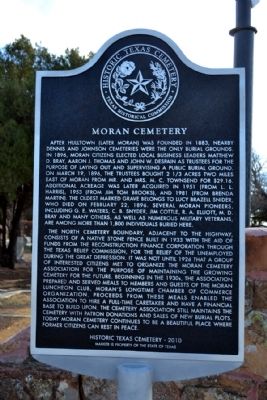
Photographed by Duane Hall, December 29, 2014
1. Moran Cemetery Marker
The north cemetery boundary, adjacent to the highway, consists of a native stone fence built in 1933 with the aid of funds from the Reconstruction Finance Corporation through the Texas Relief Commission, for the relief of the unemployed during the Great Depression. It was not until 1926 that a group of interested citizens met to organize the Moran Cemetery Association for the purpose of maintaining the growing cemetery for the future. Beginning in the 1930s, the association prepared and served meals to members and guest of the Moran Luncheon Club, Moran’s longtime chamber of commerce organization. Proceeds from these meals enabled the association to hire a full-time caretaker and have a financial base to build upon. The cemetery association still maintains the cemetery with patron donations and sales of new burial plots. Today Moran Cemetery continues to be a beautiful place where former citizens can rest in place.
Erected 2013 by Texas
this page online
Topics. This historical marker is listed in this topic list: Cemeteries & Burial Sites. A significant historical month for this entry is February 1852.
Location. 32° 32.656′ N, 99° 8.391′ W. Marker is near Moran, Texas, in Shackelford County. It is on Farm to Market Road 2408 1.3 miles east of State Highway 6, on the right when traveling east. Marker is located next to the main entrance to Moran Cemetery. Touch for map. Marker is in this post office area: Moran TX 76464, United States of America. Touch for directions.

Regionally, this marker is in Big Country. Globally, it is in North America, a Gulf of Mexico state, the Western Hemisphere, the Western World, and the Anglosphere. Historically, it finds itself in what was once New Spain, the Comanchería, the Republic of Texas, and one of the Confederate States of America.
Other nearby markers. At least 8 other markers are within 14 miles of this marker, measured as the crow flies: Granville E. Waters (within shouting distance of this marker); Moran Church of Christ (about 600 feet away, measured in a direct line); Cottle No. 1 (approx. 1.4
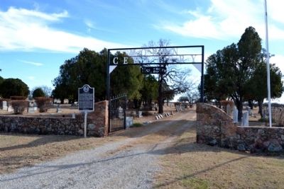
Photographed by Duane Hall, December 29, 2014
2. Main Entrance to Moran Cemetery
Another marker is no longer nearby. Burkett Pecan Tree (was approx. 11.6 miles away but has been confirmed missing).
Also see . . . Moran Cemetery. From the findagrave.com website. (Submitted on January 5, 2015.)
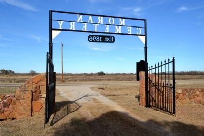
Photographed by Duane Hall, December 29, 2014
3. Moran Cemetery Entrance
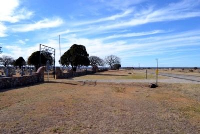
Photographed by Duane Hall, December 29, 2014
4. View to West Along FM 2408
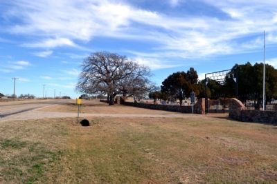
Photographed by Duane Hall, December 29, 2014
5. View to East Along FM 2408
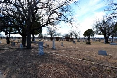
Photographed by Duane Hall, December 29, 2014
6. Moran Cemetery
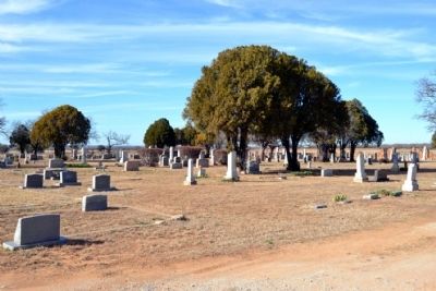
Photographed by Duane Hall, December 29, 2014
7. Moran Cemetery
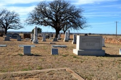
Photographed by Duane Hall, December 29, 2014
8. Grave Site of Moran Pioneer M.D. Bray
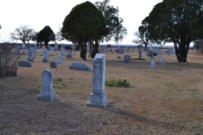
Photographed by Duane Hall, December 29, 2014
9. Grave Site (Center) of Lucy Brazell Snider
Credits. This page was last revised on June 16, 2016. It was originally submitted on January 5, 2015, by Duane Hall of Abilene, Texas. This page has been viewed 870 times since then and 28 times this year. Photos: 1, 2, 3, 4, 5, 6, 7, 8, 9. submitted on January 5, 2015, by Duane Hall of Abilene, Texas.
