Luray in Page County, Virginia — The American South (Mid-Atlantic)
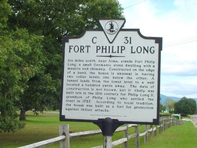
Fort Philip Long
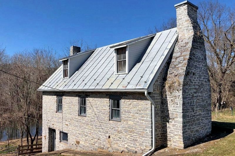
Six miles south, near Alma, stands Fort Philip Long, a small Germanic stone dwelling with a massive end chimney. Constructed on the edge of a bank, the house is unusual in having two cellar levels, one below the other. A tunnel leads from the lower level to a well located a hundred yards away. The date of construction is not known, but it likely was built late in the 18th century for Philip Long II, grandson of Philip Long who settled the tract in 1737. According to local tradition, the house was built as a fort for protection against Indian attacks.
Erected 1998 by Department of Historic Resources. (Marker Number C-31.)
Topics and series. This historical marker is listed in these topic lists: Forts and Castles • Settlements & Settlers. In addition, it is included in the Virginia Department of Historic Resources (DHR) series list. A significant historical year for this entry is 1737.
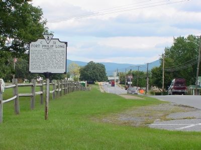
Location. 38° 39.697′ N, 78° 28.859′ W. Marker is in Luray, Virginia, in Page County. Marker is at the intersection of Main Street (Business U.S. 211) and Leaksville Road (Local Route 616), on the right when traveling east on Main Street. Touch for map. Marker is in this post office area: Luray VA 22835, United States of America. Touch for directions.
Other nearby markers. At least 5 other markers are within walking distance of this marker. Luray Caverns (approx. 0.2 miles away); Luray Caverns Virginia (approx. 0.2 miles away); a different marker also named Luray Caverns (approx. ¼ mile away); The Beautiful Caverns of Luray (approx. ¼ mile away); Bethany Veney (approx. ¼ mile away). Touch for a list and map of all markers in Luray.
Also see . . . Fort Phillip Long. Virginia Department of Historic Resources website entry (Submitted on August 8, 2009, by Rachael Elstad of Falls Church, Virginia.)
Credits. This page was last revised on August 22, 2022. It was originally submitted on January 6, 2007, by J. J. Prats of Powell, Ohio. This page has been viewed 4,404 times since then and 59 times this year. Photos: 1, 2. submitted on January 6, 2007, by J. J. Prats of Powell, Ohio. 3. submitted on August 21, 2022, by Larry Gertner of New York, New York.


