Near Pecos in Reeves County, Texas — The American South (West South Central)
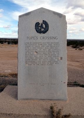
Pope's Crossing
Erected 1936 by State of Texas. (Marker Number 4071.)
Topics and series. This historical marker is listed in these topic lists: Industry & Commerce • Roads & Vehicles. In addition, it is included in the Butterfield Overland Mail, and the Texas 1936 Centennial Markers and Monuments series lists. A significant historical year for this entry is 1855.
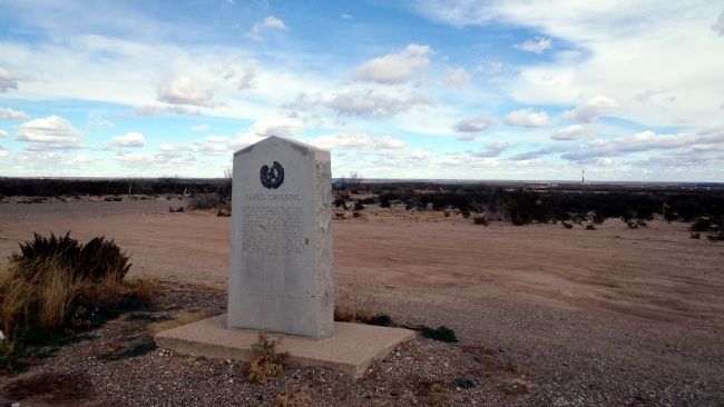
Location. 31° 56.701′ N, 103° 59.571′ W. Marker is near Pecos, Texas, in Reeves County. Marker is at the intersection of U.S. 285 and County Route 453, on the right when traveling north on U.S. 285. Touch for map. Marker is in this post office area: Pecos TX 79772, United States of America. Touch for directions.
Other nearby markers. At least 1 other marker is within 7 miles of this marker, measured as the crow flies. Red Bluff Dam (approx. 7 miles away).
More about this marker. One of the large granite "Star and Wreath" type monument markers placed by the State of Texas during the state's centennial year of 1936.
Regarding Pope's Crossing. Crossing site was 4.9 miles northeast, in Loving County. Now under Red Bluff Lake. (1964)
Credits. This page was last revised on June 16, 2016. It was originally submitted on January 13, 2015, by William F Haenn of Fort Clark (Brackettville), Texas. This page has been viewed 1,020 times since then and 55 times this year. Photos: 1, 2. submitted on January 13, 2015, by William F Haenn of Fort Clark (Brackettville), Texas. • Bernard Fisher was the editor who published this page.

