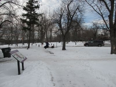
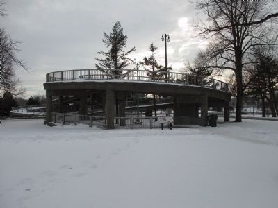
Park Meadow in Buffalo in Erie County, New York — The American Northeast (Mid-Atlantic)
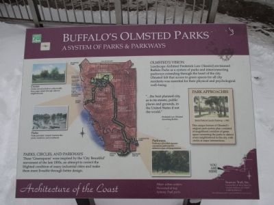
Buffalo's Olmsted Parks
A System of Parks & Parkways
— Architecture of the Coast —
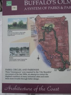
Parks, Circles, and Parkways: These 'Greenspaces' were inspired by the 'City Beautiful' movement of the late 1800s, an attempt to correct the blighted condition of many industrial cities and make them more liveable through better design.
Circles: Circles served as hubs to collect traffic from major streets through adjacent neighborhoods.
Parks: Parks provided 'natural' features like pools, meadows, and woodlands.
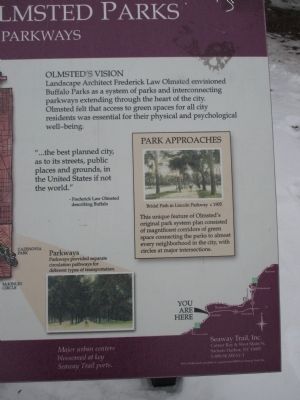
Parkways: Parkways provided separate circulation pathways for different types of transportation.
Olmsted's Vision: Landscape Architect Frederick Law Olmsted envisioned Buffalo Parks as a system of parks and interconnecting park as a system of parkways extending through the heart of the city. Olmsted felt that access to green spaces for all city residents was essential for their physical and psychological well-being.
"...the best planned city, as to its streets, public places and grounds, in the United States if not in the world." - Frederick Law Olmsted describing Buffalo.
Park Approaches: Bridal Path in Lincoln Parkway c 1905. This unique feature of Olmsted's original park system consisted of magnificent corridors of green space connecting the parks to almost every neighborhood in the city, with circles at major intersections.
Major urban centers blossomed at key Seaway Trail ports.
Seaway Trail, Inc., Corner Ray & West Main St., Sackets Harbor, NY 13685; 1-800-SEAWAY-T. This exhibit made possible by a grant from FHWA to Seaway Trail, Inc.
Erected by Seaway Trail, Inc.
Topics and series. This historical marker is listed in these topic lists: Charity & Public Work • Environment. In addition, it is included in the Great Lakes Seaway Trail National Scenic Byway series list.
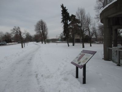
Location. 42° 56.095′ N, 78° 52.343′ W. Marker is in Buffalo, New York, in Erie County. It is in Park Meadow. Marker is at the intersection of Nottingham Terrace and Lincoln Parkway, on the right when traveling east on Nottingham Terrace. Touch for map. Marker is in this post office area: Buffalo NY 14216, United States of America. Touch for directions.
Other nearby markers. At least 8 other markers are within walking distance of this marker. Pan-American Exposition (within shouting distance of this marker); The Japanese Garden on Mirror Lake (approx. 0.2 miles away); To Commemorate the Gallantry of (approx. 0.2 miles away); Highlights of Buffalo History (approx. ¼ mile away); a different marker also named The Pan-American Exposition (approx. ¼ mile away); McMillan (approx. ¼ mile away); President McKinley (approx. ¼ mile away); Historic Scajaquada Creek (approx. 0.3 miles away). Touch for a list and map of all markers in Buffalo.
Also see . . .
1. Frederick Law Olmsted - Wikipedia. (Submitted on January 18, 2015, by Anton Schwarzmueller of Wilson, New York.)
2. Buffalo Olmsted Parks Conservancy. (Submitted on January 18, 2015, by Anton Schwarzmueller of Wilson, New York.)
3. Delaware Park-Front Park System - National Archives. National Register of Historic Places documentation (Submitted on January 30, 2024, by Anton Schwarzmueller of Wilson, New York.)
Credits. This page was last revised on January 30, 2024. It was originally submitted on January 18, 2015, by Anton Schwarzmueller of Wilson, New York. This page has been viewed 478 times since then and 26 times this year. Photos: 1, 2, 3, 4, 5, 6. submitted on January 18, 2015, by Anton Schwarzmueller of Wilson, New York.
