St. Mary's City in St. Mary's County, Maryland — The American Northeast (Mid-Atlantic)
Sharing Land and Legacy
Commemorating
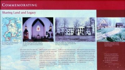
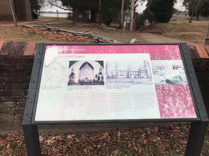
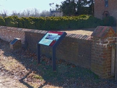
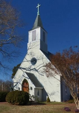
This ancient corner of St. Mary's City includes lands held by St. Mary's Parish (Trinity Episcopal Church), and the Historic St. Mary's City Commission. They have a long intertwined history.
After Maryland's capital was moved to Annapolis in 1695, the original State House of 1676 was given to the Anglican (later Episcopal) Church as a place of worship. Torn down in 1829, its old bricks were re-used in the church that serves an active congregation here today. Markers showing the location of the original State House can be seen in the cemetery.
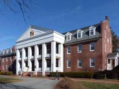
In 1840, the state of Maryland founded St. Mary's Female Seminary as a “Monument School of the People.” In 1844, the Episcopal parish sold some of its land to the state so that building could begin. The seminary grew into St. Mary's College of Maryland, a distinguished coeducational public honors college.
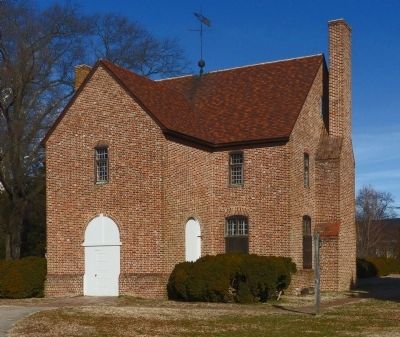
The Historic St. Mary's Commission was created by the State of Maryland in 1966 to preserve, study, and interpret the history of the first capital. The three “Cs” — Church, College, and Commission—work together as neighbors to protect and care for this beautiful site.
“St. Mary's City is recognized by the Department of the Interior as a property of national significance. The district is probably the most intact 17th-century English town surviving in our nation that is represented entirely by archaeological resources.” — Katherine H. Stevenson, National Park Service, 1969.
Topics and series. This historical marker is listed in these topic lists: Churches & Religion • Colonial Era. In addition, it is included in the National Historic Landmarks series list. A significant historical year for this entry is 1695.
Location. 38° 11.231′ N, 76° 26.065′ W. Marker is in St. Mary's City, Maryland, in St. Mary's County. Marker is on Old Statehouse Road near Trinity Church Road when traveling west. Touch for map. Marker is in this post office area: Saint Marys City MD 20686, United States of America. Touch for directions.
Other nearby markers. At least 8 other markers are within walking distance of this marker. The St. Mary’s Chapel (a few steps from this marker); “…a convenient place for the administration of Justice.” (a few steps from this marker); The Gift of the Society of the Ark and the Dove (within shouting distance of this marker); St. Mary's College of Maryland Land Acknowledgement and Pledge (within shouting distance of this marker); Saint Mary's Female Seminary (within shouting distance of this marker); After the Disastrous Fire (within shouting distance of this marker); Trinity Church, St. Mary’s Parish (within shouting distance of this marker);
Leonard Calvert (about 300 feet away, measured in a direct line). Touch for a list and map of all markers in St. Mary's City.
Also see . . . St. Mary's City National Historic Landmark. (PDF) SM-29 National Register of Historic Places Inventory Nomination Form. (Submitted on January 21, 2015, by Allen C. Browne of Silver Spring, Maryland.)
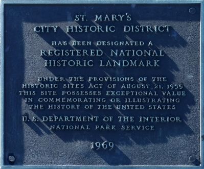
Photographed By Allen C. Browne, January 11, 2015
4. National Landmark
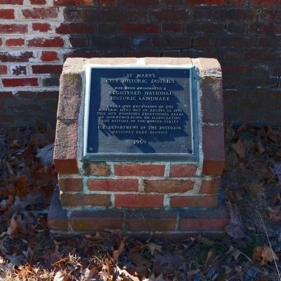
City Historic District
Has been designated a
Registered National
Historic Landmark
National Park Service
1969
Credits. This page was last revised on January 5, 2022. It was originally submitted on January 21, 2015, by Allen C. Browne of Silver Spring, Maryland. This page has been viewed 445 times since then and 8 times this year. Photos: 1. submitted on January 21, 2015, by Allen C. Browne of Silver Spring, Maryland. 2. submitted on December 18, 2021, by Adam Margolis of Mission Viejo, California. 3, 4, 5, 6, 7, 8. submitted on January 21, 2015, by Allen C. Browne of Silver Spring, Maryland. • Bill Pfingsten was the editor who published this page.
