Near Lander in Fremont County, Wyoming — The American West (Mountains)
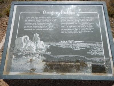
Oregon Buttes
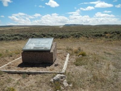
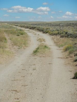
About twelve-miles to the southwest of Oregon Buttes is the Tri-Territory site. This site is the location where the Oregon Territory, Mexican Territory, and Louisiana Purchase had a common boundary. The large landmark, just to the south of where you are standing, is Pacific Butte. The great height and mass of the butte, combined with a ridge to the north paralleling the emigrant trails, helps to create a visual channel through which travelers migrated on their way through South Pass.
Erected by Bureau of Land Management.
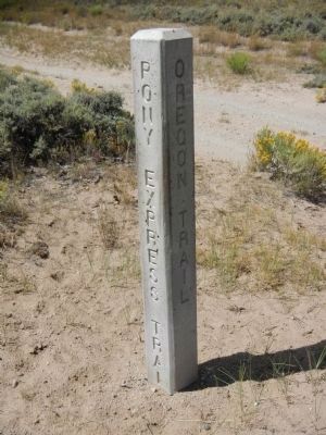
Topics and series. This historical marker is listed in these topic lists: Roads & Vehicles • Settlements & Settlers. In addition, it is included in the Oregon Trail, and the Pony Express National Historic Trail series lists.
Location. 42° 20.734′ N, 108° 52.287′ W. Marker is near Lander, Wyoming, in Fremont County. Marker is at the intersection of Oregon Buttes Road and Emigrant Trail, on the left when traveling south on Oregon Buttes Road. Touch for map. Marker is in this post office area: Lander WY 82520, United States of America. Touch for directions.
Other nearby markers. At least 8 other markers are within 6 miles of this marker, measured as the crow flies. South Pass (approx. ¾ mile away); Old Oregon Trail (approx. 0.8 miles away); Narcissa Prentiss Whitman (approx. 0.8 miles away); a different marker also named South Pass (approx. 2.9 miles away); Meadows in the Sage (approx. 2.9 miles away); Pacific Springs (approx. 3.9 miles away); a different marker also named South Pass (approx. 5.3 miles away); a different marker also named South Pass (approx. 5.3 miles away). Touch for a list and map of all markers in Lander.
Credits. This page was last revised on June 16, 2016. It was originally submitted on January 27, 2015, by Barry Swackhamer of Brentwood, California. This page has been viewed 732 times since then and 34 times this year. Photos: 1, 2, 3, 4. submitted on January 27, 2015, by Barry Swackhamer of Brentwood, California. • Andrew Ruppenstein was the editor who published this page.


