Baird in Callahan County, Texas — The American South (West South Central)
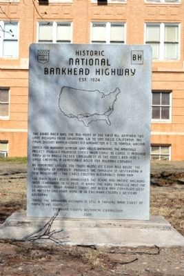
Historic National Bankhead Highway
Est. 1924
Named for Alabama Senator John Hollis Bankhead, the ambitious project involved fourteen states from coast to coast. It provided many with badly needed employment in the 1920's and 1930's while creating a dependable route for military convoys.
An important lifeline for towns along its 3,000 mile route, the “Broadway of America” provided the traveler of yesteryear a new adventure – the cross country automobile road trip.
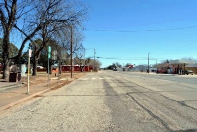
The main Texas route paralleled the Texas and Pacific Railroad from Texarkana to El Paso. In Baird the road traveled past the courthouse, down Market Street one block and continued west on present day Farm Road 18 to Callahan County’s western boundary.
Today, the Bankhead Highway is still a thriving main street of many Texas towns.
Erected 2009 by Callahan County Historical Commission.
Topics. This historical marker is listed in this topic list: Roads & Vehicles.
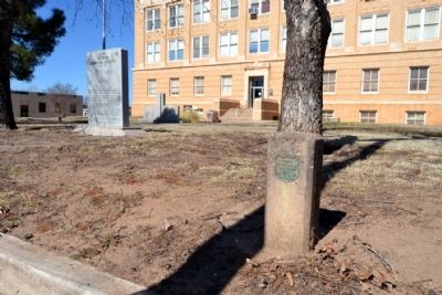
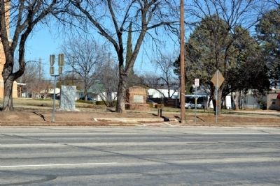
Location. 32° 23.673′ N, 99° 23.651′ W. Marker is in Baird, Texas, in Callahan County. Marker is at the intersection of 4th Street (Business Interstate 20) and Market Street, on the right when traveling west on 4th Street. Marker is located on the grounds of the Callahan County Courthouse. Touch for map. Marker is in this post office area: Baird TX 79504, United States of America. Touch for directions.
Other nearby markers. At least 8 other markers are within walking distance of this marker. Pioneers (a few steps from this marker); Callahan County War Memorial (a few steps from this marker); Baby Treaty Oak (a few steps from this marker); Callahan County (a few steps from this marker); Callahan County Courthouse (a few steps from this marker); Camp Pecan C.S.A. / Texas Civil War Frontier Defense (within shouting distance of this marker); First Presbyterian Church of Baird (about 300 feet away, measured in a direct line); First Callahan Jail (about 400 feet away). Touch for a list and map of all markers in Baird.
Credits. This page was last revised on October 19, 2021. It was originally submitted on February 14, 2015, by Duane Hall of Abilene, Texas. This page has been viewed 383 times since then and 15 times this year. Photos: 1, 2, 3, 4. submitted on February 14, 2015, by Duane Hall of Abilene, Texas.


