Orchard Park in Erie County, New York — The American Northeast (Mid-Atlantic)
Obadiah Baker Homestead
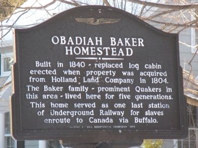
Photographed by Anton Schwarzmueller, January 28, 2015
1. Obadiah Baker Homestead Marker
Erected 1975 by Erie County Bicentennial Commission.
Topics and series. This historical marker is listed in these topic lists: Abolition & Underground RR • Settlements & Settlers. In addition, it is included in the Quakerism, and the The Spirit of ’76, America’s Bicentennial Celebration series lists. A significant historical year for this entry is 1840.
Location. 42° 46.236′ N, 78° 43.8′ W. Marker is in Orchard Park, New York, in Erie County. It is at the intersection of East Quaker Road (U.S. 20A) and Baker Road, on the left when traveling east on East Quaker Road. Touch for map. Marker is at or near this postal address: 7166 East Quaker Road, Orchard Park NY 14127, United States of America. Touch for directions.

Regionally, this marker is in Upstate New York, specifically in Western New York, and in the Buffalo Metropolitan
this page online
Other nearby markers. At least 8 other markers are within 2 miles of this marker, measured as the crow flies: Orchard Park (approx. 0.2 miles away); David Eddy (approx. half a mile away); Site of Erie County Agricultural Fair (approx. 0.7 miles away); Jolls Homestead (approx. ¾ mile away); a different marker also named Orchard Park (approx. ¾ mile away); Site of Erastus D. Webster Homestead (approx. 1.1 miles away); Village of Orchard Park (approx. 1.2 miles away); Orchard Park Depot (approx. 1.2 miles away). Touch for a list and map of all markers in Orchard Park.
Related marker. Click here for another marker that is related to this marker. "Batavia" Marker - Holland Land Company Office.
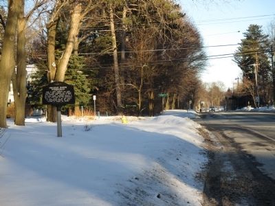
Photographed by Anton Schwarzmueller, January 28, 2015
2. Eastward - Towards Intersection
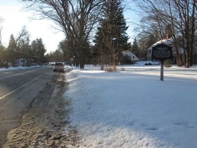
Photographed by Anton Schwarzmueller, January 28, 2015
3. Westward
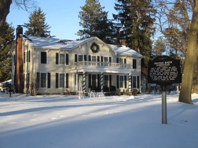
Photographed by Anton Schwarzmueller, January 28, 2015
4. Obadiah Baker Homestead and Marker
Credits. This page was last revised on June 16, 2016. It was originally submitted on February 14, 2015, by Anton Schwarzmueller of Wilson, New York. This page has been viewed 2,874 times since then and 196 times this year. Photos: 1, 2, 3, 4. submitted on February 14, 2015, by Anton Schwarzmueller of Wilson, New York.
