Martinsburg near Dickerson in Montgomery County, Maryland — The American Northeast (Mid-Atlantic)
White’s Ford
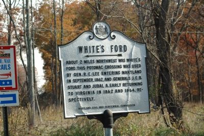
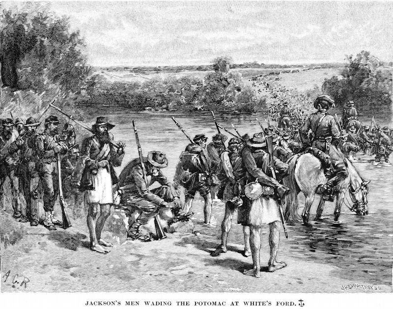
About 2 miles northwest was White’s Ford. This Potomac crossing was used by Gen. R. E. Lee entering Maryland in September, 1862, and Generals J.E.B. Stuart and Jubal A. Early returning to Virginia in 1862 and 1864, respectively.
Erected by the Maryland Civil War Centennial Commission.
Topics. This historical marker is listed in this topic list: War, US Civil. A significant historical month for this entry is September 1862.
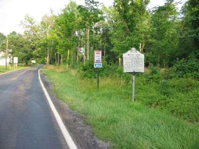
Location. 39° 9.849′ N, 77° 28.535′ W. Marker is near Dickerson, Maryland, in Montgomery County. It is in Martinsburg. Marker is at the intersection of Whites Ferry Road (Maryland Route 107) and Martinsburg Road, on the left when traveling west on Whites Ferry Road. Touch for map. Marker is at or near this postal address: 22635 Whites Ferry Rd, Dickerson MD 20842, United States of America. Touch for directions.
Other nearby markers. At least 5 other markers are within 2 miles of this marker, measured as the crow flies. Warren Historic Site (about 400 feet away, measured in a direct line); East Oaks (approx. 1½ miles away); The Monacan Confederacy and Culture (approx. 1.7 miles away in Virginia); Early Crosses At White's Ford (approx. 1.7 miles away in Virginia); a different marker also named White's Ford (approx. 1.7 miles away). Touch for a list and map of all markers in Dickerson.
More about this marker. Marker points towards Martinsburg Road. There is parking at where White’s Ford used to be at the Dickerson Conservation Park 2 miles up on Martinsburg Road, where another marker awaits.
Regarding White’s Ford. White’s Ford, an obscure crossing before the Civil War, was named after Captain Elijah Viers White, a Confederate cavalry officer and leader of the cavalry battalion known as the Comanches. His farm was on the Virginia side of the ford. He purchased and ran White’s Ferry after the war.
Related marker. Click here for another marker that is related to this marker. White’s Ford - Crossing the Potomac (Maryland Civil War Trails)
Also see . . . Elijah Viers White, leader of the “Comanches”. CJ's Civil War website entry (Submitted on January 13, 2007.)
Credits. This page was last revised on February 23, 2023. It was originally submitted on January 13, 2007, by Tom Fuchs of Greenbelt, Maryland. This page has been viewed 4,239 times since then and 32 times this year. Photos: 1, 2. submitted on January 13, 2007, by Tom Fuchs of Greenbelt, Maryland. 3. submitted on June 30, 2007, by Craig Swain of Leesburg, Virginia. 4. submitted on June 29, 2007, by Craig Swain of Leesburg, Virginia. 5. submitted on August 29, 2018, by Allen C. Browne of Silver Spring, Maryland. • J. J. Prats was the editor who published this page.
