California in St. Mary's County, Maryland — The American Northeast (Mid-Atlantic)
St. Joseph's Manor
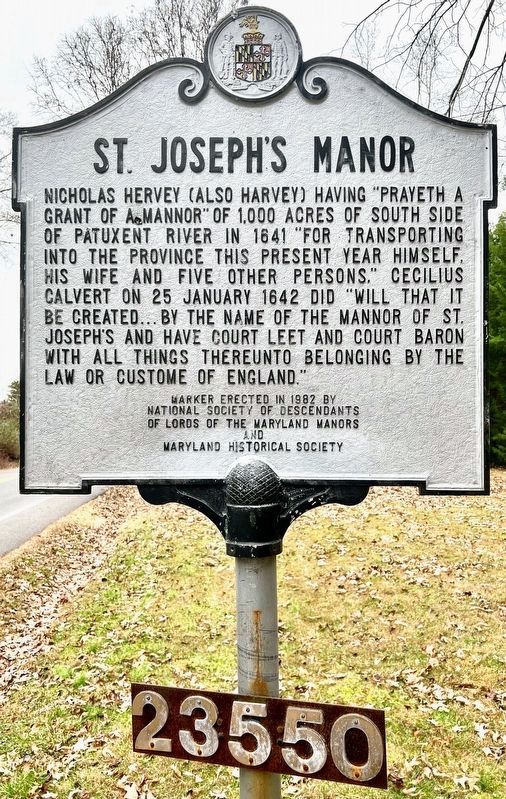
Photographed by Shane Oliver, January 4, 2023
1. St. Joseph's Manor Marker
Erected 1982 by National Society of Descendants of Lords of the Maryland Manors and Maryland Historical Society.
Topics and series. This historical marker is listed in these topic lists: Colonial Era • Settlements & Settlers. In addition, it is included in the Maryland Historical Trust series list. A significant historical date for this entry is January 25, 1642.
Location. 38° 18.868′ N, 76° 29.073′ W. Marker is in California, Maryland, in St. Mary's County. It is on Town Creek Drive, on the right when traveling east. Touch for map. Marker is in this post office area: Lexington Park MD 20653, United States of America. Touch for directions.

Regionally, this marker is in Southern Maryland. It is also in the American South, specifically in the Upper South, in the Mid-Atlantic, in the Tidewater, in the Chesapeake Bay Region, and on the Eastern Seaboard. Globally, it is in the North Atlantic Region, North America, the Western Hemisphere, the Western World, and the Anglosphere. Historically, it finds itself in what was once one of the original Thirteen Colonies and also the Antebellum South.
Other nearby markers. At least 8 other markers are within 2 miles of this marker, measured as the crow flies: Apt Anchorage (approx. 1.4 miles away); Patuxent Ghost Fleet (1927-1941) (approx. 1.4 miles away); Tide Box (approx. 1.4 miles away); War of 1812 (approx. 1.4 miles away); Watery Grave
this page online
More about this marker. Courts leet had jurisdiction over civil matters and petty offenses. Courts baron were an inferior manorial courts presided by the lord of the manor with jurisdiction over tenants.
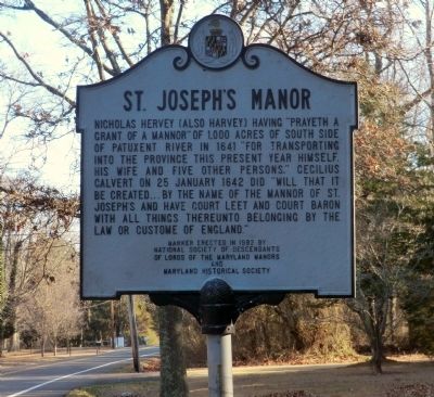
Photographed by Don Morfe, February 11, 2015
2. St. Joseph's Manor Marker
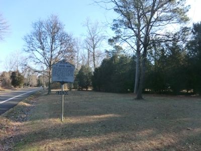
Photographed by Don Morfe, February 11, 2015
3. St. Joseph's Manor Marker
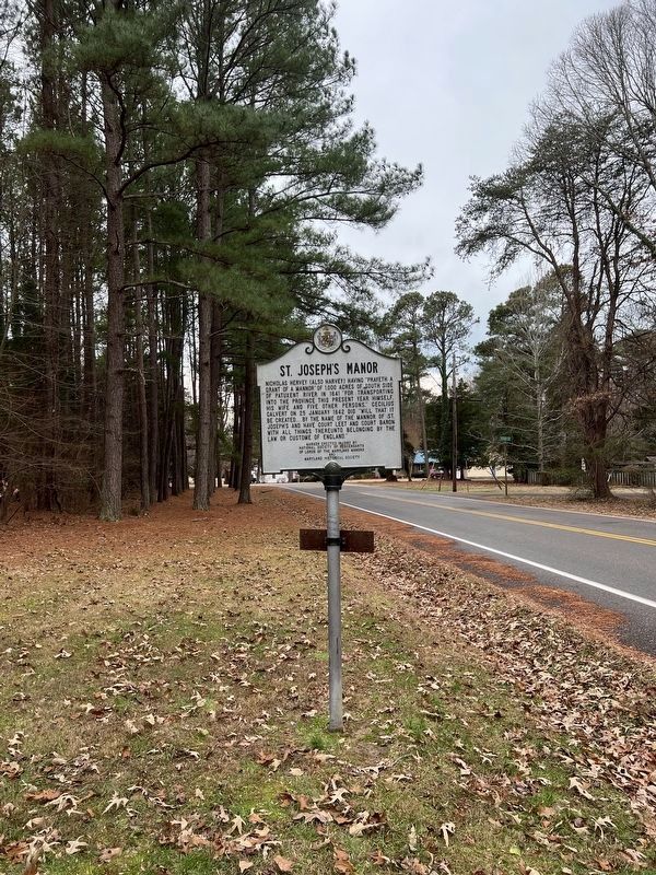
Photographed by Shane Oliver, January 4, 2023
4. St. Joseph's Manor Marker
Credits. This page was last revised on February 12, 2023. It was originally submitted on March 1, 2015, by Don Morfe of Baltimore, Maryland. This page has been viewed 2,437 times since then and 139 times this year. Last updated on January 27, 2023, by Shane Oliver of Richmond, Virginia. Photos: 1. submitted on January 27, 2023, by Shane Oliver of Richmond, Virginia. 2, 3. submitted on March 1, 2015, by Don Morfe of Baltimore, Maryland. 4. submitted on January 27, 2023, by Shane Oliver of Richmond, Virginia. • J. Makali Bruton was the editor who published this page.
