Chaptico in St. Mary's County, Maryland — The American Northeast (Mid-Atlantic)
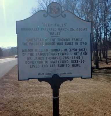
"Deep Falls"
Originally patented March 26, 1680 as "Wales"

Photographed by Rico Ramirez, July 11, 2024
1. "Deep Falls" Marker
The present house was built in 1745
Major William Thomas Jr. (1758-1813)
of the famous "Maryland Line" and
Dr. James Thomas (1785-1845)
Governor of Maryland 1833-36
lived and lie buried here.
Erected 1936 by State Roads Commission.
Topics and series. This historical marker is listed in these topic lists: Colonial Era • Government & Politics • Settlements & Settlers. In addition, it is included in the Maryland Historical Trust series list. A significant historical date for this entry is March 26, 1680.
Location. 38° 21.326′ N, 76° 45.64′ W. Marker is in Chaptico, Maryland, in St. Mary's County. It is on Budd Creek Road (SR 234). Touch for map. Marker is in this post office area: Chaptico MD 20621, United States of America. Touch for directions.

Regionally, this marker is in Southern Maryland. It is also in the American South, specifically in the Upper South, in the Mid-Atlantic, in the Tidewater, in the Chesapeake Bay Region, and on the Eastern Seaboard. Globally, it is in the North Atlantic Region, North America, the Western Hemisphere, the Western World, and the
this page online
Other nearby markers. At least 8 other markers are within 6 miles of this marker, measured as the crow flies: Prosperous Port Town (approx. 1½ miles away); Christ Church King and Queen Parish (approx. 1½ miles away); Chaptico (approx. 1½ miles away); a different marker also named Chaptico (approx. 1½ miles away); Veterans of Helen Memorial (approx. 3 miles away); Forest Hall (approx. 4.9 miles away); Tobacco Barns (approx. 5.1 miles away); Three Notch Road (approx. 5.4 miles away). Touch for a list and map of all markers in Chaptico.
Another marker is no longer nearby. Chaptico (was approx. 1½ miles away but has been replaced with another marker now near it).
Photographed by Don Morfe, February 11, 2015
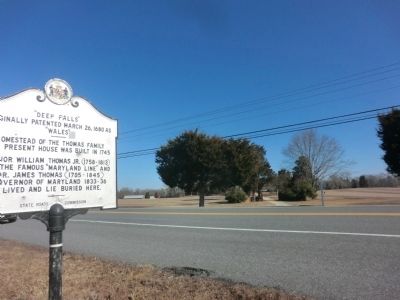
2. "Deep Falls" Marker
Photographed by Don Morfe, February 11, 2015
3. "Deep Falls" Marker
Photographed by Don Morfe, February 11, 2015
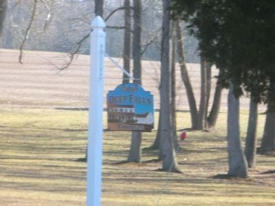
4. "Deep Falls" sign at the entrance to the residence road
Sign is located across the street from the "Deep Falls" marker.
Photographed by Don Morfe, February 11, 2015
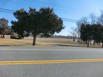
5. Distant shot of the "Deep Falls" road entrance to the residence
Credits. This page was last revised on December 30, 2024. It was originally submitted on March 1, 2015, by Don Morfe of Baltimore, Maryland. This page has been viewed 1,383 times since then and 78 times this year. Photos: 1. submitted on July 12, 2024, by Rico Ramirez of Prince Frederick, Maryland. 2, 3, 4, 5. submitted on March 1, 2015, by Don Morfe of Baltimore, Maryland. • Bill Pfingsten was the editor who published this page.
