Newburg in Charles County, Maryland — The American Northeast (Mid-Atlantic)
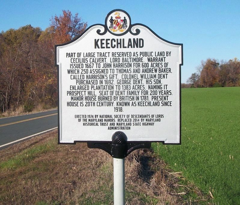
Keechland
Erected 2014 by Maryland Historical Trust and Maryland State Highway Administration.
Topics and series. This historical marker is listed in these topic lists: Colonial Era • Settlements & Settlers. In addition, it is included in the Maryland Historical Trust series list. A significant historical year for this entry is 1667.
Location. 38° 24.491′ N, 76° 59.457′ W. Marker is in Newburg, Maryland, in Charles County. Marker is on Popes Creek Road. Touch for map. Marker is in this post office area: Newburg MD 20664, United States of America. Touch for directions.
Other nearby markers. At least 8 other markers are within 3 miles of this marker, measured as the crow flies. Dents Meadow (approx. half a mile away); Crossing the Potomac (approx. 0.7 miles away); "Huckleberry" (approx. 1.3 miles away); Southern Charles County Memorial (approx. 2.1 miles away); “Cliffton” (approx. 2½ miles away); 300 Year Old Southern Red Oak (approx. 2.8 miles away); Wolleston Manor (approx. 2.8 miles away); a different marker also named Cliffton (approx. 3 miles away). Touch for a list and map of all markers in Newburg.
Credits. This page was last revised on January 30, 2019. It was originally submitted on March 3, 2015, by Don Morfe of Baltimore, Maryland. This page has been viewed 1,477 times since then and 84 times this year. Photos: 1. submitted on January 17, 2019, by David Lassman of Waldorf, Maryland. 2, 3. submitted on March 3, 2015, by Don Morfe of Baltimore, Maryland. • Bill Pfingsten was the editor who published this page.


