Near Dickerson in Montgomery County, Maryland — The American Northeast (Mid-Atlantic)
White’s Ford
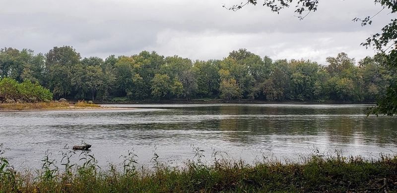
Crossing the Potomac
— Antietam Campaign 1862 —
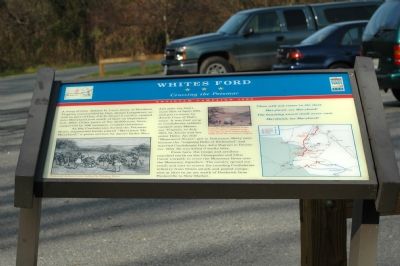
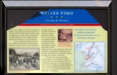
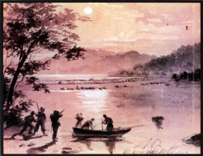
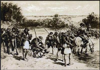
As the Confederates forded the Potomac River, regimental bands played “Maryland, My Maryland,” a poem written by James Ryder Randall after the Baltimore Riot of April 1861, and put to music by Jennie Cary of Baltimore. It was first sung to Confederate soldiers camped near Manassas, Virginia in July 1861, by Jeannie and her sister Hetty. An elite “Monument Street” girl in Baltimore, Hetty soon became the “reigning Belle of Richmond” and married Confederate Gen. John Pegram in December 1864. He was killed 3 weeks later.
Thou wilt not cower in the dust,
Maryland, my Maryland!
Thy beaming sword shall never rust,
Maryland, my Maryland!
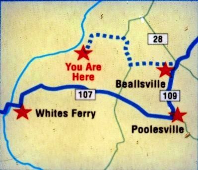
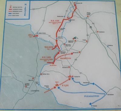
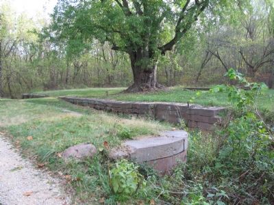
From here, the troops and artillery marched north on the Chesapeake and Ohio Canal towpath to cross the Monocacy River over the Monocacy Aqueduct. The cavalry spread out south and east to screen the invading Confederate infantry from Union attack and posted companies at sites in an arc south of Frederick from Poolesville to New Market.
Erected by Maryland Civil War Trails.
Topics and series. This historical marker is listed in this topic list: War, US Civil. In addition, it is included in the Chesapeake and Ohio (C&O) Canal, and the Maryland Civil War Trails series lists. A significant historical month for this entry is April 1861.
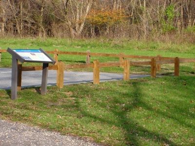
Location. This marker has been replaced by another marker nearby. It was located near 39° 11.675′ N, 77° 28.159′ W. Marker was near Dickerson, Maryland, in Montgomery County. Marker could be reached from Martinsburg Road, 2½ miles west of Darnestown Road (Maryland Route 28), on the right when traveling west. Touch for map. Marker was in this post office area: Dickerson MD 20842, United States of America. Touch for directions.
Other nearby markers. At least 8 other markers are within 2 miles of this location, measured as the crow flies. A different marker also named White's Ford (here, next to this marker); a different marker also named White's Ford (approx. half a mile away); Lee Crosses Into Maryland (approx. 0.9 miles away in Virginia); Early Crosses At White's Ford (approx. 0.9 miles away in Virginia); The Monacan Confederacy and Culture (approx. 0.9 miles away in Virginia); Linden Farm (approx. 1.1 miles away); Seneca Stone Barn (approx.
1½ miles away); Springing Over the Monocacy / The Enduring Aqueduct (approx. 2.1 miles away). Touch for a list and map of all markers in Dickerson.
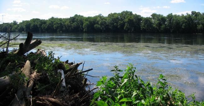
Regarding White’s Ford. White’s Ford, an obscure crossing before the Civil War, was named after Captain Elijah Viers White, a Confederate cavalry officer and leader of the cavalry battalion known as the Comanches. His farm was on the Virginia side of the ford. He purchased and ran White’s Ferry after the war.
Related marker. Click here for another marker that is related to this marker. This marker has been replaced with the linked marker.
Additional commentary.
1. Maryland, My Maryland
by James Ryder Randall
The despot’s heel is on thy shore,
—Maryland!
His torch is at thy temple door,
—Maryland!
Avenge the patriotic gore
That flecked the streets of Baltimore,
And be the battle queen of yore,
—Maryland! My Maryland!
Hark to an exiled son’s appeal,
—Maryland!
My Mother State! to thee I kneel,
—Maryland!
For life or death, for woe or weal,
Thy peerless chivalry reveal,
And gird they beauteous
limbs with steel,
—Maryland! My Maryland!
Thou wilt not cower in the dust,
—Maryland!
Thy beaming sword shall never rust,
—Maryland!
Remember Carroll’s sacred trust,
Remember Howard’s warlike thrust,—
And all thy slumberers with the just,
—Maryland! My Maryland!
Come! ’tis the red dawn of the day,
—Maryland!
Come with thy panoplied array,
—Maryland!
With Ringgold’s spirit for the fray,
With Watson's blood at Monterey,
With fearless Lowe and dashing May,
—Maryland! My Maryland!
Come! for thy shield is bright and strong,
—Maryland!
Come! for thy dalliance does thee wrong,
—Maryland!
Come to thine own anointed throng,
Stalking with Liberty along,
And sing thy dauntless slogan song,
—Maryland! My Maryland!
Dear Mother! burst the tyrant’s chain,
—Maryland!
Virginia should not call in vain,
—Maryland!
She meets her sisters on the plain—
Sic semper! ’tis the proud refrain
That baffles minions back amain,
—Maryland!
Arise in majesty again,
—Maryland! My Maryland!
I see the blush upon thy cheek,
—Maryland!
For thou wast ever bravely meek,
—Maryland!
But lo! there surges forth a shriek,
From
hill to hill, from creek to creek,
Potomac calls to Chesapeake,
—Maryland! My Maryland!
Thou wilt not yield the Vandal toll,
—Maryland!
Thou wilt not crook to his control,
—Maryland!
Better the fire upon thee roll, Better the shot, the blade, the bowl,
Than crucifixion of the Soul,
—Maryland! My Maryland!
I hear the distant thunder-hum,
—Maryland!
The Old Line bugle, fife, and drum,
—Maryland!
She is not dead, nor deaf, nor dumb—
Huzza! She spurns the Northern scum!
She breathes! She burns! She’ll come! She’ll come!
—Maryland! My Maryland!
— Submitted January 13, 2007.
Credits. This page was last revised on December 10, 2023. It was originally submitted on January 13, 2007, by Tom Fuchs of Greenbelt, Maryland. This page has been viewed 5,907 times since then and 159 times this year. Photos: 1. submitted on January 13, 2007, by Tom Fuchs of Greenbelt, Maryland. 2, 3, 4, 5. submitted on May 6, 2013, by Allen C. Browne of Silver Spring, Maryland. 6. submitted on August 9, 2008, by Craig Swain of Leesburg, Virginia. 7. submitted on January 13, 2007, by J. J. Prats of Powell, Ohio. 8. submitted on August 12, 2008, by Craig Swain of Leesburg, Virginia. 9. submitted on October 19, 2020, by Bradley Owen of Morgantown, West Virginia. 10. submitted on January 13, 2007, by Tom Fuchs of Greenbelt, Maryland. 11. submitted on June 29, 2007, by Craig Swain of Leesburg, Virginia. 12. submitted on November 9, 2007, by Craig Swain of Leesburg, Virginia. • J. J. Prats was the editor who published this page.
Editor’s want-list for this marker. Photo of the John Pelham Association Marker near ford. • Can you help?
