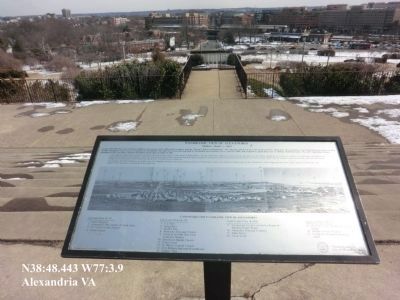
Taylor Run in Alexandria, Virginia — The American South (Mid-Atlantic)
Fighting Back
Star-Spangled Banner National Historic Trail
— War of 1812 —
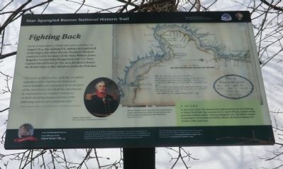
With Alexandria under British control in August 1814, top-ranking U.S. military men gathered at this high point above the city. President Madison conferred with Secretary of the Navy William Jones, Brigadier General John Hungerford, and U.S. Navy Captain David Porter, Jr. The men decided to harass the British ships as they withdrew down the Potomac.
“The town of Alexandria, with the exception of public works, shall not be destroyed, unless hostilities are commenced on the part of the Americans; nor shall the inhabitants be molested in any manner whatever, or their dwelling-houses entered, if the following articles are complied with.” British Captain Gordon, in the introduction to his articles of capitulation.
A Scare
To save their town, the Alexandrians had promised not to challenge or attack the British. But a group of U.S. naval officers, unauthorized, assaulted a British soldier. Fearing retaliation, the city fathers rushed to apologize. Fortunately the British officers decided to dismiss the incident with a warning.
(sidebar)
In the summer of 1814 the United States had been at war with Great Britain for two years. Battlefronts had erupted from the Great Lakes to the Gulf of Mexico. On August 24, following their victory over the Americans at the Battle of Bladensburg, Maryland, British troops marched on Washington with devastating results. The Star-Spangled Banner National Historic Trail reveals sites of the War of 1812 in Washington, D.C., Virginia, and Maryland. Visit ChesapeakeExplorerApp.com or download the Chesapeake Explorer app.
(caption)
(lower center) Captain James Gordon Oil by Andrew Morton, National Maritime Museum, UK
Erected by National Park Service, U.S. Department of the Interior.
Topics and series. This historical marker is listed in these topic lists: War of 1812 • Waterways & Vessels. In addition, it is included in the Former U.S. Presidents: #04 James Madison, and the Star Spangled Banner National Historic Trail series lists. A significant historical year for this entry is 1814.
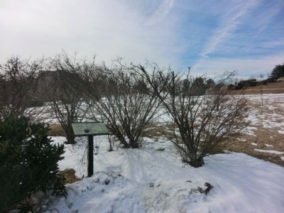
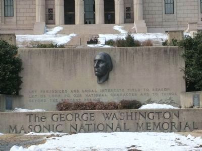
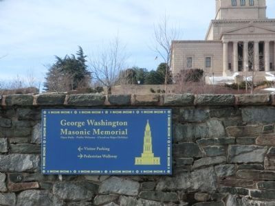
Location. 38° 48.423′ N, 77° 3.802′ W. Marker is in Alexandria, Virginia. It is in Taylor Run. Marker can be reached from the intersection of Callahan Drive and King Street (Virginia Route 7). The marker is on the grounds of the George Washington Masonic National Memorial. Touch for map. Marker is at or near this postal address: 101 Callahan Drive, Alexandria VA 22301, United States of America. Touch for directions.
Other nearby markers. At least 8 other markers are within walking distance of this marker. The George Washington Masonic National Memorial (within shouting distance of this marker); Veterans Memorial (about 300 feet away, measured in a direct line); Alexandria War Memorial (about 300 feet away); World War I Memorial (about 300 feet away); Original Federal Boundary Stone, District of Columbia, Southwest 2 (about 300 feet away); Alexandria in the Civil War (about 300 feet away); All Aboard at Alexandria Union Station (about 400 feet away); Panoramic View of Alexandria (about 500 feet away). Touch for a list and map of all markers in Alexandria.
Also see . . .
1. Stars-Spangled Banner National Historic Trail. National Park Service (Submitted on March 6, 2015.)
2. Stars-Spangled Banner National Historic Trail - DC, MD, VA. National Park Service (Submitted on March 6, 2015.)
3. Cultural Tourism DC. (Submitted on March 6, 2015.)
4. The George Washington Masonic National Memorial. (Submitted on March 6, 2015.)
Credits. This page was last revised on February 9, 2023. It was originally submitted on March 5, 2015, by Don Morfe of Baltimore, Maryland. This page has been viewed 990 times since then and 16 times this year. Last updated on March 6, 2015, by J. Makali Bruton of Accra, Ghana. Photos: 1, 2, 3, 4, 5, 6, 7. submitted on March 5, 2015, by Don Morfe of Baltimore, Maryland. • Bill Pfingsten was the editor who published this page.
