Marker Logo HMdb.org THE HISTORICAL
MARKER DATABASE
“Bite-Size Bits of Local, National, and Global History”
Hermitage in Davidson County, Tennessee — The American South (East South Central)
 

Field Quarter Trail


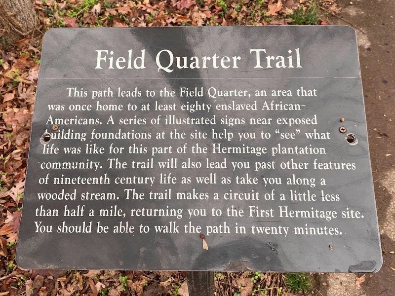
Field Quarter Trail Marker image. Click for full size.
Photographed By Darren Jefferson Clay, November 12, 2022
1. Field Quarter Trail Marker
Inscription. This path leads to the Field Quarter, an area that was once home to at least eighty enslaved African-Americans. A series of illustrated signs near exposed building foundations at the site help you to “see” what life was like for this part of the Hermitage plantation community. The trail will also lead you past other features of nineteenth century life as well as take you along a wooded stream. The trail makes a circuit of a little less than half a mile, returning you to the First Hermitage site. You should be able to walk the path in twenty minutes.
 
Topics. This historical marker is listed in these topic lists: African AmericansAgricultureSettlements & Settlers.
 
Location. 36° 13.023′ N, 86° 36.755′ W. Marker is in Hermitage, Tennessee, in Davidson County. Marker can be reached from Rachels Lane, 0.3 miles east of Hermitage Road. This marker is left side of The Springhouse Water for the Hermitage marker. Touch for map. Marker is at or near this postal address: 4580 Rachels Lane, Hermitage TN 37076, United States of America. Touch for directions.
 
Other nearby markers. At least 8 other markers are within walking distance of this marker. The Springhouse (here, next to this marker); Cabin-by-the-Spring (a few steps from this marker); Property, Family, Humanity (within shouting distance of this marker); The Hunter’s Hill Farm Building
Paid Advertisement
Click on the ad for more information.
Please report objectionable advertising to the Editor.
Click or scan to see
this page online
(within shouting distance of this marker); The First Hermitage (about 300 feet away, measured in a direct line); A Future President's Home (about 300 feet away); The Hermitage Landscape (about 400 feet away); Growing Cotton (about 400 feet away). Touch for a list and map of all markers in Hermitage.
 
Also see . . .  The Hermitage, The Home of President Andrew Jackson. (Submitted on February 10, 2012, by Bernard Fisher of Richmond, Virginia.)
 
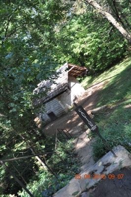
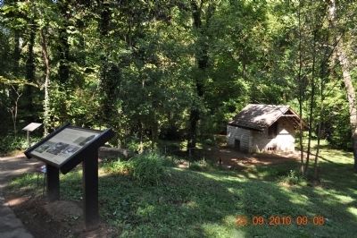
Field Quarter Trail Marker image. Click for full size.
Photographed By Sandra Hughes, September 25, 2010
2. Field Quarter Trail Marker
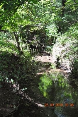
Field Quarter Trail image. Click for full size.
Photographed By Sandra Hughes, September 25, 2010
3. Field Quarter Trail
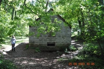
Field Quarter Trail image. Click for full size.
Photographed By Sandra Hughes, September 25, 2010
4. Field Quarter Trail
Field Quarter Trail image. Click for full size.
Photographed By Sandra Hughes, September 25, 2010
5. Field Quarter Trail
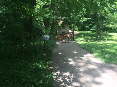
Wide view of Field Quarter Trail Marker image. Click for full size.
Photographed By J. Makali Bruton, June 14, 2015
6. Wide view of Field Quarter Trail Marker
 
 
Credits. This page was last revised on February 7, 2023. It was originally submitted on February 9, 2012, by Sandra Hughes Tidwell of Killen, Alabama, USA. This page has been viewed 593 times since then and 10 times this year. Last updated on March 13, 2015, by J. Makali Bruton of Accra, Ghana. Photos:   1. submitted on January 23, 2023, by Darren Jefferson Clay of Duluth, Georgia.   2, 3, 4, 5. submitted on February 9, 2012, by Sandra Hughes Tidwell of Killen, Alabama, USA.   6. submitted on July 12, 2015, by J. Makali Bruton of Accra, Ghana. • Bill Pfingsten was the editor who published this page.
Share this page.  
Share on Tumblr
m=81410

CeraNet Cloud Computing sponsors the Historical Marker Database.
This website earns income from purchases you make after using our links to Amazon.com. We appreciate your support.
Paid Advertisement
Apr. 23, 2024