Leonardtown in St. Mary's County, Maryland — The American Northeast (Mid-Atlantic)
Center of Citizenship
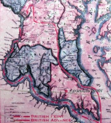
Target of Three-Prong Attack
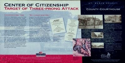
Leonardtown's Early Years
Carved from a large land grant named New Towne Hundred by an act of Maryland's Early Colonial government to advance commerce, this area had been known by several other names --Sheppard's Old Fields, Seymour Towne, Leonard Town, and finally Leonardtown. It became the county seat in 1708. A more aggressive group of commissioners was formed in 1728; they were responsible for renaming the town and encouraging growth.
During the Revolutionary War, an unarmed militia was stationed here and citizens elected their representatives for the new United States government. Food and supplies for the Continental Army were also stored here.
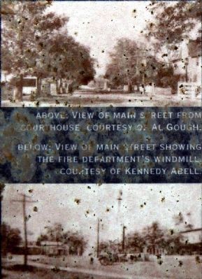
Over the years, numerous hotels and taverns have lined the town square to serve the needs of residents who came here to conduct official business. From the town wharf, farm goods and tobacco were exported to regional and international markets. Transportation by water -- on board a sloop, schooner, or steamship -- continued until the end of the 1930s.
"Not a Musquet Being Fired"
During the War of 1812, British forces attacked the little town of Leonardtown. On July 19, 1814, and estimated 1,500 British Royal Marines divided into three companies: two of the three groups marched to Leornardtown, arriving in full force just minutes before Admiral Cockburn's barges landed at the Town wharf with the third contingency.
Along the way, private homes were raided. In Leonardtown, the British found the supplies of the 30th Regiment, and 40 stands of arms that had been destroyed. It was reported to British naval command that "Tobacco, Flour, Provisions, and other article likewise found." These were taken by th British "without having sustained accident of any kind" according to Rear Admiral George Cockburn, in his report to Vice Admiral Cockrane, July 24, 1814.
St. Mary's County
County Courthouse
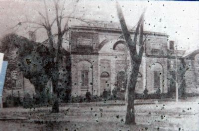
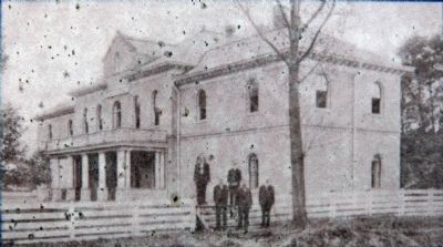
The private residence of Steven Murty, then Thomas Cooper, served as the first courthouse. By 1710, legislation authorized funds for a wooden courthouse.
In 1736, a brick courthouse was built that lasted until a fire destroyed the building and all the county records dating up to 1831. The courthouse you see today was built around 1901 court building. For many years the courthouse served as the county's largest meeting place.
For three centuries, residents have come here to perform the duties of citizenship such as voting, signing official documents, recording financial transactions, and participating in legal challenges.
Erected by The Southern Maryland Heritage Partnership.
Topics. This historical marker is listed in these topic lists: Colonial Era • War of 1812. A significant historical month for this entry is July 1852.
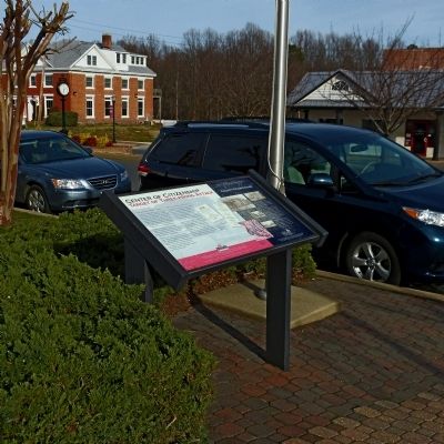
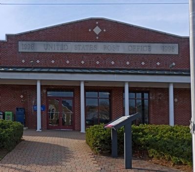
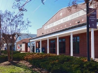
Location. Marker has been reported missing. It was located near 38° 17.51′ N, 76° 38.158′ W. Marker was in Leonardtown, Maryland, in St. Mary's County. Marker was on Washington Street. The marker is in front of the Leonardtown Post Office. Touch for map. Marker was at or near this postal address: 22735 Washington Street, Leonardtown MD 20650, United States of America. Touch for directions.
Other nearby markers. At least 8 other markers are within walking distance of this location. The Mural Story (within shouting distance of this marker); Site of the Methodist Episcopal Meeting House (c.1847) (within shouting distance of this marker); Leonardtown (about 300 feet away, measured in a direct line); World War I Monument -- Leonardtown (about 400 feet away); Veterans Memorial (about 400 feet away); The Great House (about 800 feet away); Lynching in America / Lynching of Benjamin Hance (approx. 0.2 miles away); a different marker also named Leonardtown (approx. 0.2 miles away). Touch for a list and map of all markers in Leonardtown.
Photographed By Allen C. Browne, January 5, 2013
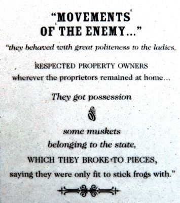
4. "Movements of the Enemy..."
"They have behaved with great politeness ot the ladies, respected property owners wherever the
proprietors remaining at home... They got possession of some muskets belonging to the state, which
they broke to pieces, saying they were only fit to stick frogs with." -- Replica of a report front
he Maryland Gazette, August 14, 1814.
Photographed By Allen C. Browne, January 5, 2013
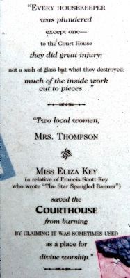
5. "Every Housekeeper was Plundered"
"Every housekeeper was plundered except one -- to the Court House they did great injury; not a sash of glass but what was destroyed; much of inside work cut to pieces..."
"Two local women, Mrs. Thompson & Miss Eliza Key (a relative of Francis Scott Key who wrote the Star "Spangled Banner") save the Courthouse from burning by claiming it was sometimes used as a place of worship." -- Replica of report from the Chronicles of St. Mary's, August 14, 1814.
"Two local women, Mrs. Thompson & Miss Eliza Key (a relative of Francis Scott Key who wrote the Star "Spangled Banner") save the Courthouse from burning by claiming it was sometimes used as a place of worship." -- Replica of report from the Chronicles of St. Mary's, August 14, 1814.
Credits. This page was last revised on June 16, 2016. It was originally submitted on January 18, 2013, by Allen C. Browne of Silver Spring, Maryland. This page has been viewed 439 times since then and 5 times this year. Last updated on March 15, 2015, by Allen C. Browne of Silver Spring, Maryland. Photos: 1, 2, 3, 4, 5, 6, 7, 8, 9. submitted on January 18, 2013, by Allen C. Browne of Silver Spring, Maryland. 10. submitted on March 15, 2015, by Allen C. Browne of Silver Spring, Maryland. • Bill Pfingsten was the editor who published this page.
