Ridgeway in Orleans County, New York — The American Northeast (Mid-Atlantic)
The Medina Culvert
Photographed by Anton Schwarzmueller, March 22, 2015
1. The Medina Culvert Marker
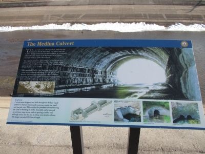
The first and only road culvert ever built under the Erie Canal passes directly below here. The culvert was built in 1823 during construction of Clinton's Ditch. Its cornerstone, which still exists, is part of the foundation of the Vernon Toussaint home at 3704 Culvert Road.
The original culvert was dismantled in 1854 and rebuilt in 1855 on the Enlarged Canal's new alignment nearby. Forty years later it was substantially altered during the Nine Million Dollar Improvement of 1895.
The construction of the New York State Barge Canal (1905-1918) widened and refaced the road culvert and, however unknowingly, conserved this unique structure, preserving its historical significance for future generations. Cars and trucks continueto [sic] use the Medina Culvert today. [caption] Reconstruction of the south facing of the Medina Culvert in 1908.
Culverts
Culverts were designed and built throughout the Erie Canal system to channel streams and stormwater under the canal and into the river. This avoided the possibility of undermining the canal or flooding its banks. Essentially, culverts served as cut stone water drains with an opening
this page online
[captions] Engineer's plan of the Arch Culvert, a cut stone culvert from the Enlarged Erie Canal. The dive culvert at Port Byron, New York. Culvert at Chenango, 1855. A double culvert at Solvay.
Erected by New York State Canals.
Topics and series. This historical marker is listed in this topic list: Waterways & Vessels. In addition, it is included in the Erie Canal series list. A significant historical year for this entry is 1823.
Location. 43° 14.148′ N, 78° 20.429′ W. Marker is in Ridgeway, New York, in Orleans County. It is on Culvert Road (County Route 35) ¼ mile south of Portage Road when traveling south. Marker is about several feet off-center and atop the culvert on the Canalway Trail (Erie Canal Heritage Trail on Google), which is the towpath. The marker can be seen from Culvert Road southbound, but certainly cannot be read from the road. Touch for map. Marker is in this post office area: Medina

Photographed by Anton Schwarzmueller, March 22, 2015
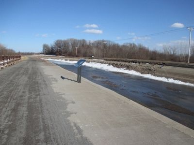
2. The Medina Culvert Marker - Westward
On the Canalway Trail.

Regionally, this marker is in Upstate New York, specifically in Western New York, in the Finger Lakes, and in the Rochester Metropolitan Area. It is also in the American Northeast and in the Mid-Atlantic. Globally, it is in North America, on the Great Lakes, in the Western Hemisphere, in the Western World, and in the Anglosphere. Historically, it finds itself in what was once the Haudenosaunee (Iroquois) Confederacy, New Netherland, and one of the original Thirteen Colonies.
Other nearby markers. At least 8 other markers are within 3 miles of this marker, measured as the crow flies: The Culvert Road (a few steps from this marker); Unlock the Adventure (approx. 1.6 miles away); 1st Religious Society (approx. 1.7 miles away); Burial Ground (approx. 1.9 miles away); Millville 1815 (approx. 2.1 miles away); The Burroughs Family (approx. 2.3 miles away); In Honor of Our Departed Comrades (approx. 2.3 miles away); World War I Monument (approx. 2.3 miles away). Touch for a list and map of all markers in Ridgeway.
Also see . . .
1. Medina Culvert. The Travels
Photographed by Anton Schwarzmueller, March 22, 2015
3. The Medina Culvert Marker
Eastward on the Canalway Trail.
2. Driving under the culvert. You Tube video (34 s) Rock soundtrack. (Submitted on March 27, 2015, by Anton Schwarzmueller of Wilson, New York.)
3. New York State Canalway Trail. Wikipedia entry (Submitted on June 24, 2024, by Larry Gertner of New York, New York.)
Photographed by Howard C. Ohlhous, October 17, 2024
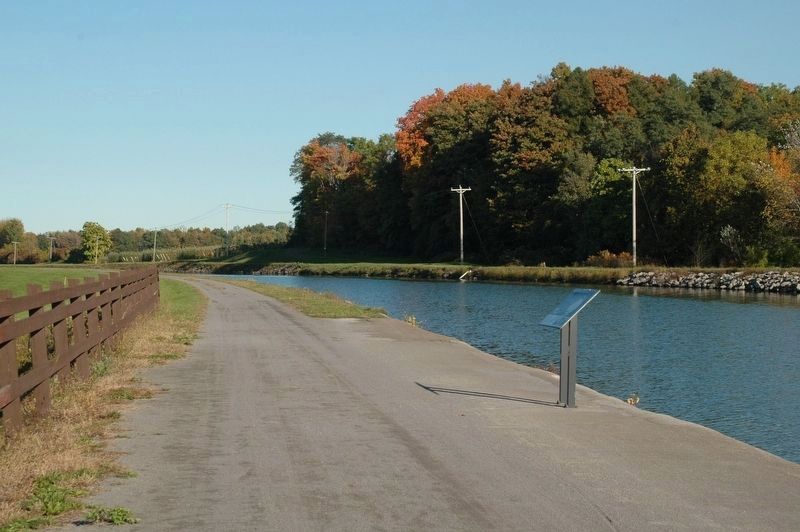
4. The Medina Culvert Marker
The Medina Culvert Marker during the navigation season, looking to the east.
Photographed by Anton Schwarzmueller, March 22, 2015
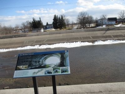
5. The Medina Culvert Marker - Southward
The canal is drained for the winter. Culvert Road is in the background.
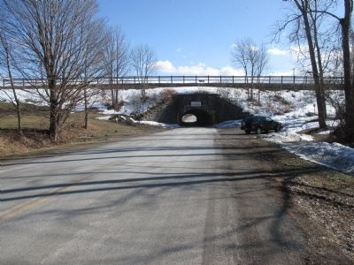
Photographed by Anton Schwarzmueller, March 22, 2015
6. The Medina Culvert and Marker
Southbound, Culvert Road.
Credits. This page was last revised on October 25, 2024. It was originally submitted on March 27, 2015, by Anton Schwarzmueller of Wilson, New York. This page has been viewed 1,388 times since then and 47 times this year. Photos: 1, 2, 3. submitted on March 27, 2015, by Anton Schwarzmueller of Wilson, New York. 4. submitted on October 19, 2024, by Howard C. Ohlhous of Duanesburg, New York. 5, 6. submitted on March 27, 2015, by Anton Schwarzmueller of Wilson, New York.
