Greenville in Greenville County, South Carolina — The American South (South Atlantic)
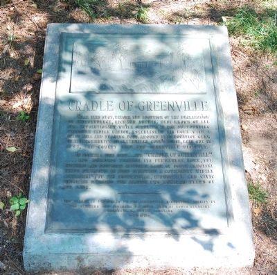
Cradle of Greenville
Near this sign, before the adoption of the Declaration of Independence, Richard Pearis, best known of all Pre-Revolutionary settlers in the surrounding Cherokee Indian nation, established his home with a grist mill and trading post. Around this location grew up the community of Greenville Court House, laid out in 1797, the county seat for Greenville District.
In marking this site...the "Cradle of Greenville"...and building thereon its permanent home, the Citizens and Southern National Bank of South Carolina finds pleasure in this saluting a community widely acclaimed for its commercial, industrial and civic progress spanning the almost two hundred years of its life.
Erected 1962 by Greenville County Historical Society and the Citizens and Southern National Bank.
Topics. This historical marker is listed in these topic lists: Colonial Era • Settlements & Settlers. A significant historical year for this entry is 1797.
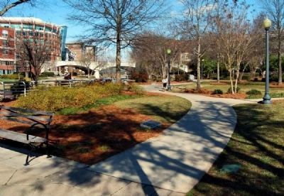
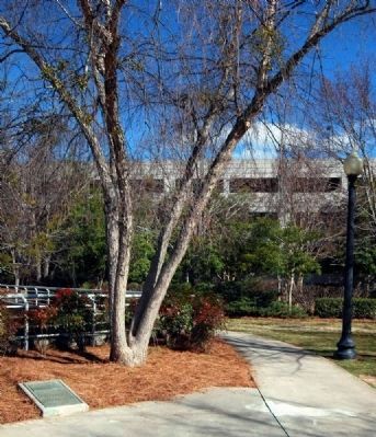
Location. 34° 50.691′ N, 82° 24.031′ W. Marker is in Greenville, South Carolina, in Greenville County. Marker is on East Camperdown Way (State Highway 124), on the right. The marker is located in Historic Falls Park. Touch for map. Marker is in this post office area: Greenville SC 29601, United States of America. Touch for directions.
Other nearby markers. At least 10 other markers are within walking distance of this marker. Richard Pearis (here, next to this marker); Camperdown Mill (here, next to this marker); The Falls and Industry 1800’s – 1960 (a few steps from this marker); The Falls Forgotten 1960 - 2002 (a few steps from this marker); Falls Reclaimed and the Liberty Bridge 2004 (a few steps from this marker); Liberty Bridge (within shouting distance of this marker); The Reedy River (within shouting distance of this marker); Paul Ellis, III Overlook (within shouting distance of this marker); McBee's Mills (about 300 feet away, measured in a direct line); a different marker also named Liberty Bridge (about 300 feet away). Touch for a list and map of all markers in Greenville.
Credits. This page was last revised on June 16, 2016. It was originally submitted on June 7, 2008, by Brian Scott of Anderson, South Carolina. This page has been viewed 2,047 times since then and 44 times this year. Photos: 1. submitted on June 7, 2008, by Brian Scott of Anderson, South Carolina. 2, 3. submitted on March 24, 2010, by Brian Scott of Anderson, South Carolina. • Christopher Busta-Peck was the editor who published this page.


