Near Madisonville in Monroe County, Tennessee — The American South (East South Central)
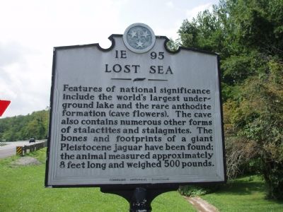
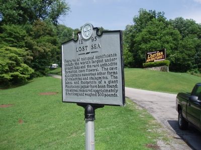
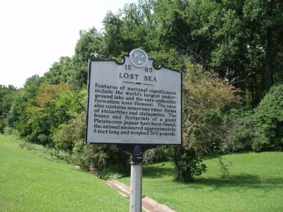
Lost Sea
Erected by Tennessee Historical Commission. (Marker Number 1E 95.)
Topics and series. This historical marker is listed in these topic lists: Landmarks • Natural Features. In addition, it is included in the Lost at Sea, and the Tennessee Historical Commission series lists.
Location. 35° 32.033′ N, 84° 26.017′ W. Marker is near Madisonville, Tennessee, in Monroe County. Marker is on Highway 68, on the right when traveling north. Touch for map. Marker is in this post office area: Madisonville TN 37354, United States of America. Touch for directions.
Other nearby markers. At least 8 other markers are within 4 miles of this marker, measured as the crow flies. The Great Craighead Cave (approx. 0.2 miles away); Monroe County World War II Memorial (approx. 4.1 miles away); Monroe County World War I Supreme Sacrifice Memorial (approx. 4.1 miles away); War Comes to Madisonville (approx. 4.1 miles away); Monroe County Courthouse (approx. 4.1 miles away); Monroe County Korean and Vietnam Wars Memorial (approx. 4.1 miles away); Monroe County Iraq and Afghanistan KIA Memorial (approx. 4.1 miles away); In Memory of Those Who Served (approx. 4.1 miles away). Touch for a list and map of all markers in Madisonville.

Photographed By Sandra Hughes, August 29, 2006
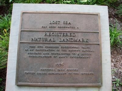
5. Lost Sea
Registered Natural
Landmark
This site possesses exceptional value
as an illustration of the nation’s natural
heritage and contributes to a better
understanding of man’s enviroment.
1976
National Park Service
United States Department of the Interior
Credits. This page was last revised on June 16, 2016. It was originally submitted on July 12, 2007, by R. E. Smith of Nashville, Tennessee. This page has been viewed 1,572 times since then and 20 times this year. Last updated on April 8, 2015, by J. Makali Bruton of Accra, Ghana. Photos: 1, 2, 3, 4. submitted on July 12, 2007, by R. E. Smith of Nashville, Tennessee. 5. submitted on March 16, 2010, by Sandra Hughes Tidwell of Killen, Alabama, USA. • Bill Pfingsten was the editor who published this page.


