Beech Grove in Rutherford County, Tennessee — The American South (East South Central)
Army of the Cumberland
June 24-26, 1863
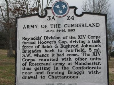
Photographed by Tom Gillard, December 30, 2009
1. Army of the Cumberland Marker
Erected by Tennessee Historical Commission. (Marker Number 3 A 24.)
Topics and series. This historical marker is listed in this topic list: War, US Civil. In addition, it is included in the Tennessee Historical Commission series list.
Location. 35° 40.587′ N, 86° 16.85′ W. Marker is in Beech Grove, Tennessee, in Rutherford County. It is on Murfreesboro Highway (U.S. 41), on the left when traveling north. Touch for map. Marker is in this post office area: Christiana TN 37037, United States of America. Touch for directions.

Regionally, this marker is in Middle Tennessee and in Greater Nashville. It is also in the American South and specifically in the Upper South. Globally, it is in North America, the Western Hemisphere, the Western World,
this page online
Other nearby markers. At least 8 other markers are within 5 miles of this marker, measured as the crow flies: A different marker also named Army of the Cumberland (a few steps from this marker); Beech Grove Engagement (approx. 3.9 miles away); General Forrest's Farewell Order Memorial (approx. 4.1 miles away); Pledge to the South (approx. 4.1 miles away); 18th Indiana Battery (approx. 4.1 miles away); Confederate Cemetery (approx. 4.1 miles away); 20th Tennessee Volunteer Infantry (approx. 4.1 miles away); General A. P. Stewart's Division (approx. 4.1 miles away). Touch for a list and map of all markers in Beech Grove.
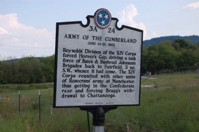
Photographed by Sharon N. Goodman
2. Army of the Cumberland Marker
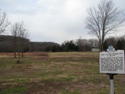
Photographed by Tom Gillard, December 30, 2009
3. Army of the Cumberland Marker
Credits. This page was last revised on June 16, 2016. It was originally submitted on December 31, 2009, by Tom Gillard of Tullahoma, Tennessee. This page has been viewed 1,951 times since then and 57 times this year. Last updated on April 10, 2015, by J. Makali Bruton of Washington, District of Columbia. Photos: 1. submitted on December 31, 2009, by Tom Gillard of Tullahoma, Tennessee. 2. submitted on January 18, 2010, by Sharon N. Goodman of Round Rock, Texas. 3. submitted on December 31, 2009, by Tom Gillard of Tullahoma, Tennessee. • Bill Pfingsten was the editor who published this page.
