Hammond in St. Lawrence County, New York — The American Northeast (Mid-Atlantic)
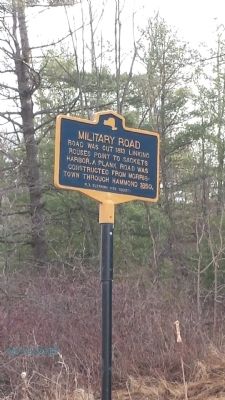
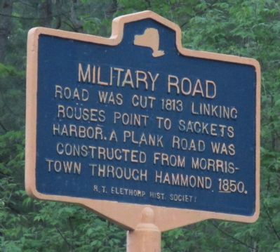
Military Road
Erected by R. T. Elethomp Hist. Society.
Topics. This historical marker is listed in this topic list: Roads & Vehicles. A significant historical year for this entry is 1831.
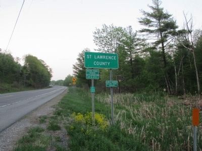
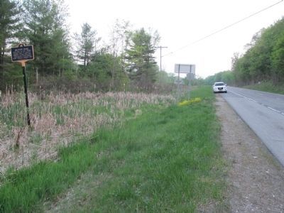
Location. 44° 21.586′ N, 75° 45.928′ W. Marker is in Hammond, New York, in St. Lawrence County. Marker is on New York State Route 37 at milepost 0,, 1.9 miles north of County Route 111, on the right when traveling north. Marker is located a few feet north of the St Lawrence County line. Touch for map. Marker is in this post office area: Hammond NY 13646, United States of America. Touch for directions.
Other nearby markers. At least 8 other markers are within 7 miles of this marker, measured as the crow flies. Stone Quarry (approx. 2.4 miles away); Redwood Glass (approx. 4.4 miles away); Indian River Lakes (approx. 4.6 miles away); The Battle of Cranberry Creek (approx. 6 miles away); Cranberry Creek Wildlife Management Area (approx. 6.1 miles away); a different marker also named Cranberry Creek Wildlife Management Area (approx. 6.1 miles away); Bay Road Cemetery (approx. 7.1 miles away); First Church (approx. 7.1 miles away). Touch for a list and map of all markers in Hammond.
Credits. This page was last revised on June 16, 2016. It was originally submitted on April 14, 2015, by Bob of Syracuse, New York. This page has been viewed 396 times since then and 9 times this year. Photos: 1. submitted on April 14, 2015, by Bob of Syracuse, New York. 2, 3, 4. submitted on June 7, 2015, by Anton Schwarzmueller of Wilson, New York. • Bill Pfingsten was the editor who published this page.


