Corona in Riverside County, California — The American West (Pacific Coastal)
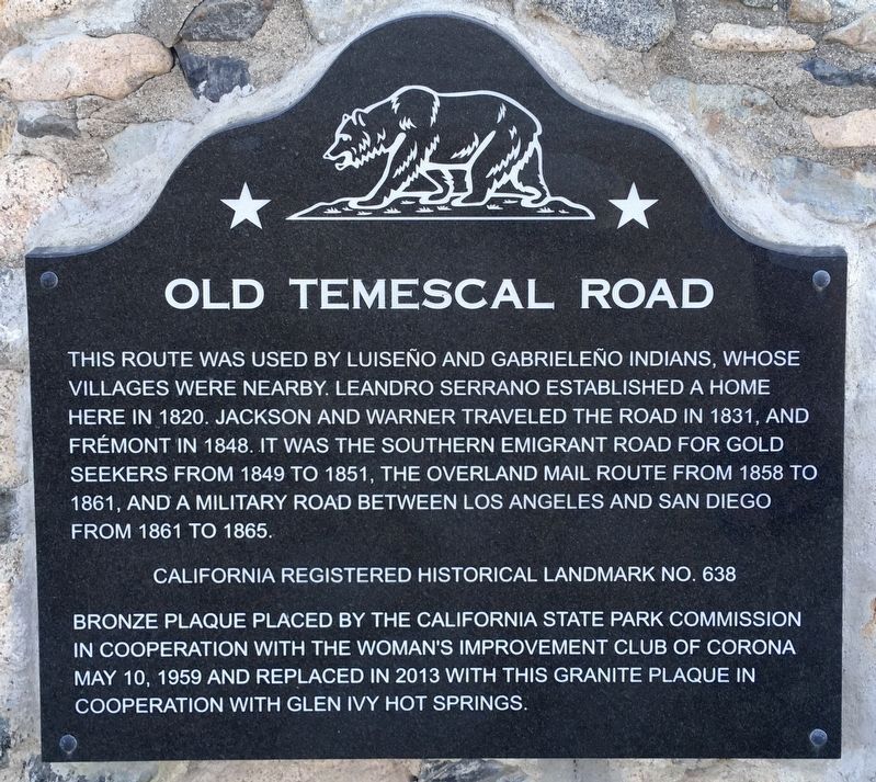
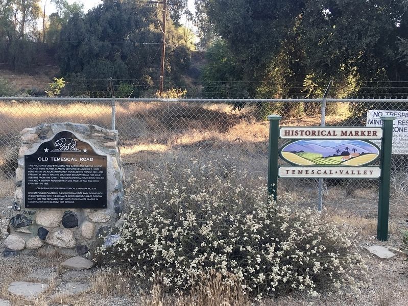
Old Temescal Road
Erected 1959 by California State Park Commission in cooperation with The Woman's Improvement Club of Corona May 10, 1959 and replaced in 2013 with this granite plaque in cooperation with Glen Ivy Hot Springs. (Marker Number 638.)
Topics and series. This historical marker is listed in this topic list: Roads & Vehicles. In addition, it is included in the Butterfield Overland Mail, and the California Historical Landmarks series lists. A significant historical year for this entry is 1820.
Location. 33° 45.779′ N, 117° 29.137′ W. Marker is in Corona, California, in Riverside County. Marker is on Temescal Canyon Road, 0.9 miles south of Interstate 15, on the right when traveling south. On Old Hwy 71, 0.9 mi South of I-15 and Temescal Canyon Road interchange, 11 mi S of Corona. Touch for map. Marker is in this post office area: Corona CA 92883, United States of America. Touch for directions.
Other nearby markers. At least 8 other markers are within 9 miles of this marker, measured as the crow flies. Site of Third Serrano Adobe (approx. one mile away); Tanning Vat (approx. one mile away); Serrano Tanning Vats (approx. one mile away); Site of Butterfield Stage Station (approx. 3.9 miles away); Silverado (approx. 5.7 miles away); Corona Historic Preservation Society (approx. 7.7 miles away); The Legend of Flores Peak (approx. 8½ miles away); Corona History (approx. 8.7 miles away). Touch for a list and map of all markers in Corona.
Credits. This page was last revised on July 2, 2021. It was originally submitted on April 5, 2015, by Bill Kirchner of Tucson, Arizona. This page has been viewed 938 times since then and 61 times this year. Last updated on April 17, 2015, by J. Makali Bruton of Accra, Ghana. Photos: 1, 2. submitted on July 2, 2021, by Craig Baker of Sylmar, California. 3. submitted on April 5, 2015, by Bill Kirchner of Tucson, Arizona. • Syd Whittle was the editor who published this page.


