Murfreesboro in Rutherford County, Tennessee — The American South (East South Central)
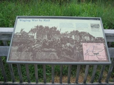
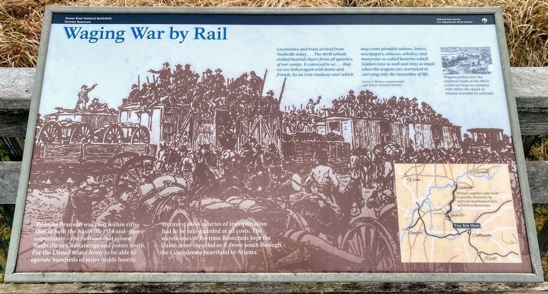
Waging War by Rail
Fortress Rosecans
Photographed by Craig Swain, August 28, 2010
1. Waging War by Rail Marker
Locomotive and train arrived from Nashville today... The shrill whistle evoked hearted cheers from all quarters of our camps. It conveyed to us... that we are linked again with home and friends by an iron roadway over which may come plentiful rations, letters, newspapers, tobacco, whiskey, and numerous so-called luxuries which Soldiers love so well and miss so much when the wagons are overtaxed in carrying only the necessities of life.
Lyman S. Widney, sergeant major
14th Illinois Volunteer Infantry
Wagons pulled over the unpaved roads of the 1860s could not hope to compete with either the speed or volume available by railroad.
Redoubt Brannan was built within rifle-shot of both the Nashville Pike and - more importantly - the railroad that joined Nashville to Chattanooga and points south. For the United States Army to be able to operate hundreds of miles inside hostile territory, these arteries of transportation had to be safe-guarded at all costs. The warehouses of Fortress Rosecrans kept the Union army supplied as it drove south through the Confederate heartland to Atlanta.
Erected by Stones River National Battlefield
this page online
Topics. This historical marker is listed in these topic lists: Forts and Castles • Railroads & Streetcars • War, US Civil.
Location. 35° 51.528′ N, 86° 24.589′ W. Marker is in Murfreesboro, Tennessee, in Rutherford County. It can be reached from West College Street, on the right when traveling south. Located in the Redoubt Brannan section of the Stones River National Battlefield. Touch for map. Marker is in this post office area: Murfreesboro TN 37129, United States of America. Touch for directions.

Regionally, this marker is in Middle Tennessee and in Greater Nashville. It is also in the American South and specifically in the Upper South. Globally, it is in North America, the Western Hemisphere, the Western World, and the Anglosphere. Historically, it finds itself in what was once the territory of the Mississippian Culture, one of the Confederate States of America, and the Antebellum South.
Other nearby markers. At least 8 other markers are within walking distance of this marker: Bum Proof Stockade
Photographed by Shane Oliver, January 16, 2021
2. Waging War by Rail Marker
Also see . . . Stones River National Battlefield. National Park Service website entry (Submitted on November 7, 2010, by Craig Swain of Leesburg, Virginia.)
Photographed by Craig Swain, August 28, 2010
3. Waging War by Rail Marker
Photographed by Craig Swain, August 28, 2010
4. Railroad Bridge
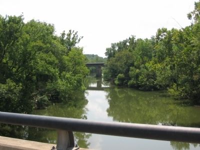
Looking from the College Street bridge over Stones River toward the modern CSX Transportation Railroad Bridge. The modern bridges are at the approximate locations, respectively, for the Old Nashville Pike and the Nashville & Chattanooga Railroad bridges.
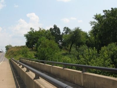
Photographed by Craig Swain, August 28, 2010
5. West Face of Redoubt Brannan
Looking from the College Street Bridge.
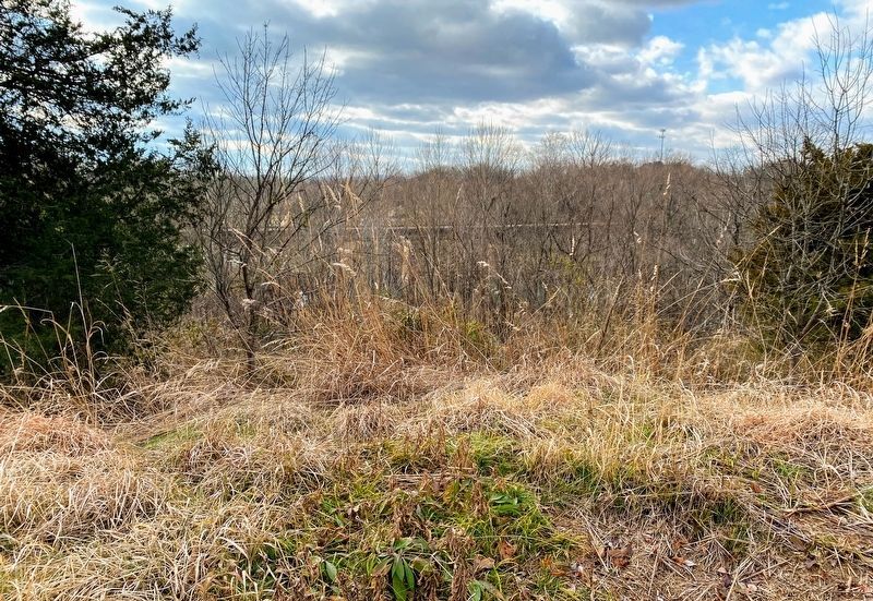
Photographed by Shane Oliver, January 16, 2021
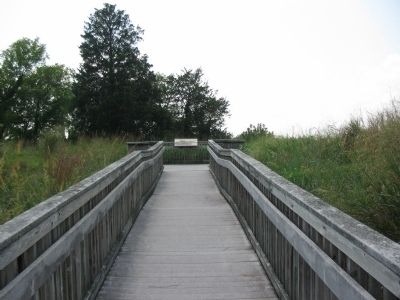
6. View of Redoubt Brannan Earthworks near the marker
Credits. This page was last revised on August 18, 2022. It was originally submitted on November 7, 2010, by Craig Swain of Leesburg, Virginia. This page has been viewed 885 times since then and 27 times this year. Last updated on April 21, 2015, by J. Makali Bruton of Washington, District of Columbia. Photos: 1. submitted on November 7, 2010, by Craig Swain of Leesburg, Virginia. 2. submitted on March 13, 2021, by Shane Oliver of Richmond, Virginia. 3, 4, 5. submitted on November 7, 2010, by Craig Swain of Leesburg, Virginia. 6. submitted on March 13, 2021, by Shane Oliver of Richmond, Virginia. • Bill Pfingsten was the editor who published this page.
