Pigeon Island, Gros Islet, Saint Lucia — Caribbean Region (Lesser Antilles)
Ridge Battery
Photographed by J. Makali Bruton, April 26, 2015
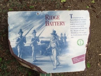
1. Ridge Battery Marker
The heaviest gun on Pigeon Island was sited here. It was a 32-pounder which could be turned from north to south to cover the St. Lucia Channel and Gros Islet Bay. The gun was used effectively in 1781 to repel the French invasion of Gros Islet.
Look for Martinique to the north, visible on clear days.
Erected by Saint Lucia National Trust.
Topics. This historical marker is listed in these topic lists: Colonial Era • Forts and Castles. A significant historical year for this entry is 1781.
Location. Marker is missing. It was located near 14° 5.528′ N, 60° 57.948′ W. Marker was on Pigeon Island, Gros Islet. It was on no nearby street. This marker is at the Pigeon Island National Landmark, on the path up to Signal Peak from the Musket Redoubt. Touch for map. Marker was in this post office area: Pigeon Island, Gros Islet LC01 101, Saint Lucia. Touch for directions.

Regionally, it was in one of the Lesser Antilles on the Caribbean Sea, on in the Atlantic Ocean, in North America, in the Western Hemisphere, and in the Anglosphere. Historically, it found itself in what was once a British colony.
Other nearby markers. At
this page online
Photographed by J. Makali Bruton, April 26, 2015
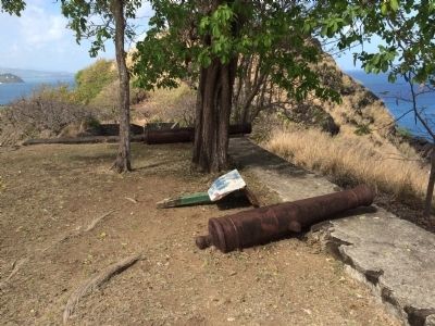
2. Wide view of Ridge Battery Marker
This marker has been damaged and is near the cannons on the Ridge Battery.
Photographed by J. Makali Bruton, April 22, 2018
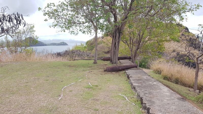
3. Ridge Battery Marker
The marker has been removed from the site.
Credits. This page was last revised on June 12, 2026. It was originally submitted on April 26, 2015, by J. Makali Bruton of Washington, District of Columbia. This page has been viewed 580 times since then and 16 times this year. Photos: 1, 2. submitted on April 26, 2015, by J. Makali Bruton of Washington, District of Columbia. 3. submitted on April 22, 2018, by J. Makali Bruton of Washington, District of Columbia. • Andrew Ruppenstein was the editor who published this page.
