Vantage in Kittitas County, Washington — The American West (Northwest)
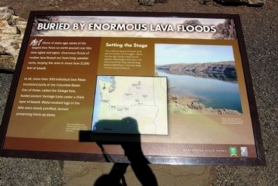
Buried by Enormous Lava Floods
Photographed by Duane Hall, August 24, 2010
1. Buried by Enormous Lava Floods Marker
In all, more than 300 individual lava flows inundated parts of the Columbia Basin. One of these, called the Gingko flow, buried ancient Vantage Lake under a thick layer of basalt. Water-soaked logs in the lake were slowly petrified, forever preserving them as stone.
Setting the Stage
The cake-like layers of basalt built the foundation of the region. When the Ice Age floods swept across eastern Washington and down the Columbia River, they carved long, steep-walled flood channels deep into the basalt bedrock.
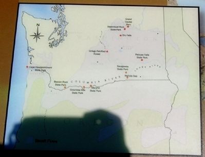
(Map Caption)
More than 40,000 cubic miles of basalt lava covered parts of Washington, Oregon, and Idaho.
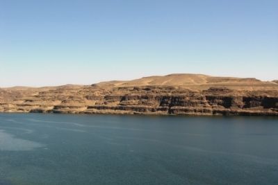
(Photo Caption)
Several layers of basalt are visible in the cliffs along both sides of the Columbia River.
Erected by Washington State Parks.
Topics. This historical marker is listed in this topic list: Natural Features.
Location. 46° 57.284′ N,
this page online

Regionally, this marker is in the Columbia Basin and in Yakima Valley. It is also in the American Mountain West and in the Lewis & Clark Corridor. Globally, it is in North America, in the Cascade Range, on the Pacific Rim, in the Western Hemisphere, in the Western World, and in the Anglosphere.
Other nearby markers. At least 8 other markers are within 2 miles of this marker, measured as the crow flies: Welcome to Ginkgo Petrified Forest State Park (here, next to this marker); In the Path of Cataclysmic Floods (within shouting distance of this marker); Explore Massive Floodscapes! (within shouting distance of this marker); A Living Landscape (within shouting distance of this marker); Carving Out Basalt Layers (within shouting
Photographed by Duane Hall, August 24, 2010
2. Basalt Flows in Washington and Oregon
Also see . . . Ginkgo Petrified Forest State Park - Wikipedia entry. (Submitted on May 2, 2015.)
Photographed by Duane Hall, August 24, 2010
3. Basalt Layers Along the Columbia River
Photographed by Duane Hall, August 24, 2010
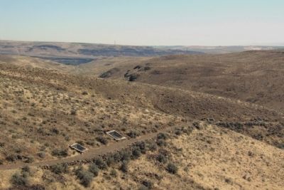
4. Ginkgo Petrified Forest Interpretive Trails
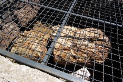
Photographed by Duane Hall, August 24, 2010
5. Petrified Log of a Douglas Fir
Credits. This page was last revised on June 16, 2016. It was originally submitted on May 2, 2015, by Duane Hall of Abilene, Texas. This page has been viewed 614 times since then and 34 times this year. Photos: 1, 2, 3, 4, 5. submitted on May 2, 2015, by Duane Hall of Abilene, Texas.
Editor’s want-list for this marker. Photo of wide-view of marker and surrounding area • Can you help?
