Battle of Sailor's (Sayler's) Creek
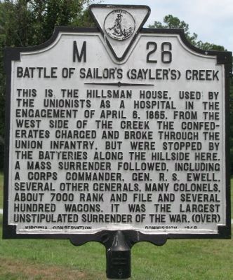
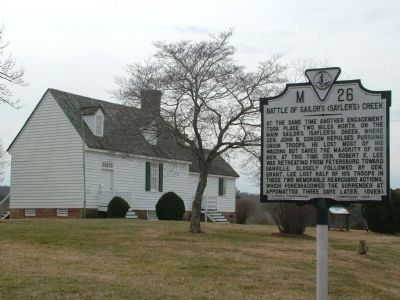
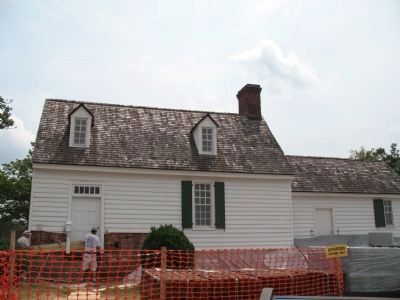
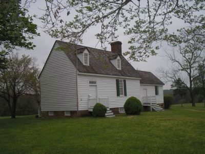
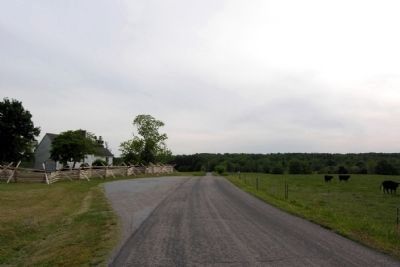
This is the Hillsman House, used by the Unionists as a hospital in the engagement of April 6, 1865. From the west side of the creek the Confederates charged and broke through the Union infantry, but were stopped by the batteries along the hillside here. A mass surrender followed, including a corps commander, Gen. R. S. Ewell, several other generals, many colonels, about 7000 rank and file, and several hundred wagons. It was the largest unstipulated surrender of the war.
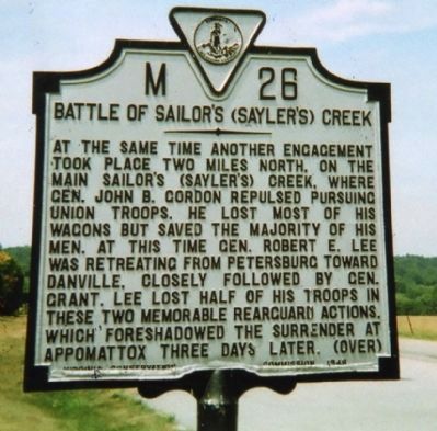
At the same time another engagement took place two miles north, on the main Sailor's (Sayler's) Creek, where Gen. John B. Gordon repulsed pursuing Union Troops. He lost most of his wagons but saved the majority of his men. At this time Gen. Robert E. Lee was retreating from Petersburg toward Danville, closely followed by Gen. Grant. Lee lost half of his troops in these two memorable rearguard actions, which foreshadowed the surrender at Appomattox three days later.
Erected 1948 by Virginia Conservation Commission. (Marker Number M-26.)
Topics and series. This historical marker is listed in this topic list: War, US Civil. In addition, it is included in the Virginia Department of Historic Resources (DHR) series list. A significant historical date for this entry is April 6, 1929.
Location. 37° 18.623′
Other nearby markers. At least 8 other markers are within walking distance of this marker. Overton / Hillsman House (within shouting distance of this marker); Hillsman House (within shouting distance of this marker); Crossing Little Sailor's Creek (approx. 0.4 miles away); Assaulting the Confederate Battle Line (approx. half a mile away); The Final Clash: With Fate Against Them (approx. half a mile away); Ewell’s Line of Defense (approx. 0.6 miles away); Victory or Death (approx. 0.6 miles away); Battle of Sailors Creek (approx. 0.6 miles away). Touch for a list and map of all markers in Jetersville.
Also see . . . Sailor's Creek Battlefield State Park website. (Submitted on June 11, 2008, by Kevin W. of Stafford, Virginia.)
Credits. This page was last revised on July 3, 2021. It was originally submitted on June 11, 2008, by Kevin W. of Stafford, Virginia. This page has been viewed 4,378 times since then and 51 times this year. Photos: 1. submitted on August 14, 2008, by Laura Troy of Burke, Virginia. 2. submitted on June 11, 2008, by Kevin W. of Stafford, Virginia. 3. submitted on August 14, 2008, by Kevin W. of Stafford, Virginia. 4. submitted on August 14, 2008, by Laura Troy of Burke, Virginia. 5. submitted on October 26, 2008, by Bill Coughlin of Woodland Park, New Jersey. 6. submitted on January 14, 2014, by Duane Hall of Abilene, Texas. • Craig Swain was the editor who published this page.
