Carthage in Smith County, Tennessee — The American South (East South Central)
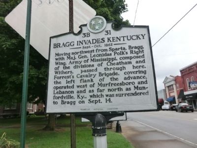
Bragg Invades Kentucky
Sept. - Oct., 1862
Erected by Tennessee Historical Commission. (Marker Number 3B 31.)
Topics and series. This historical marker is listed in this topic list: War, US Civil. In addition, it is included in the Tennessee Historical Commission series list. A significant month for this entry is September.
Location. 36° 15.067′ N, 85° 57.133′ W. Marker is in Carthage, Tennessee, in Smith County. Marker is at the intersection of Main Street and 2nd Avenue West, on the right when traveling south on Main Street. Touch for map. Marker is at or near this postal address: 215 Main Street, Carthage TN 37030, United States of America. Touch for directions.
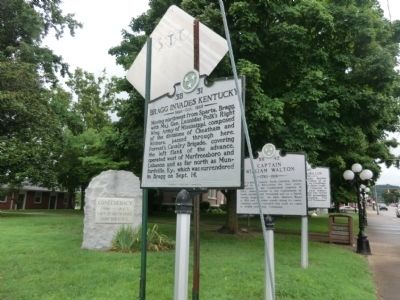
Other nearby markers. At least 8 other markers are within walking distance of this marker. Confederacy Memorial (here, next to this marker); Captain William Walton (a few steps from this marker); Smith County Courthouse Square (a few steps from this marker); Benton McMillin (within shouting distance of this marker); Smith County Veterans Memorial (within shouting distance of this marker); DeFord Bailey (within shouting distance of this marker); Cordell Hull Memorial Bridge (about 300 feet away, measured in a direct line); Edward Stallings (about 800 feet away). Touch for a list and map of all markers in Carthage.
Credits. This page was last revised on December 14, 2020. It was originally submitted on September 3, 2013, by Don Morfe of Baltimore, Maryland. This page has been viewed 587 times since then and 19 times this year. Last updated on May 3, 2015, by J. Makali Bruton of Accra, Ghana. Photos: 1, 2. submitted on September 3, 2013, by Don Morfe of Baltimore, Maryland. • Bill Pfingsten was the editor who published this page.

