Dover in Stewart County, Tennessee — The American South (East South Central)
Fort Donelson
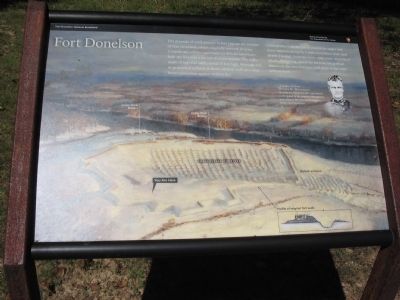
Photographed by Craig Swain, September 4, 2010
1. Fort Donelson Marker
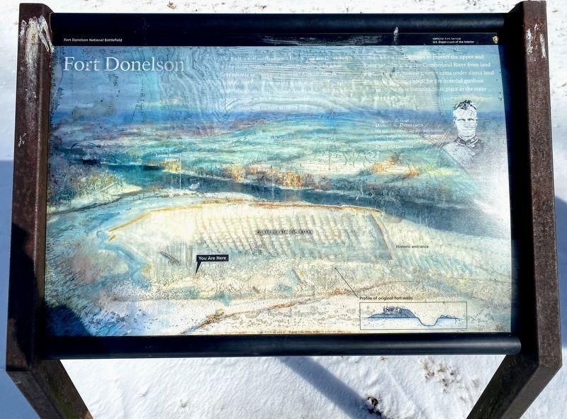
Confederates built the fort to protect upper and lower batteries along the Cumberland River from land attack. The fort, however, never came under direct land attack. All fighting, except for the ironclad gunboat attacks on the river batteries, took place in the outer defense lines.
Brigadier General Daniel S. Donelson
the man for whom the fort was named, participated in the original 1861 survey that selected the sites for both Forts Henry and Donelson.
Erected by Fort Donelson National Battlefield - National Park Service - Department of the Interior.
Topics. This historical marker is listed in these topic lists: Forts and Castles • War, US Civil. A significant historical year for this entry is 1861.
Location. 36° 29.444′ N, 87° 51.405′ W. Marker is in
this page online

Regionally, this marker is in Middle Tennessee and in the Highland Rim. It is also in the American South and specifically in the Upper South. Globally, it is in North America, the Western Hemisphere, the Western World, and the Anglosphere. Historically, it finds itself in what was once the territory of the Mississippian Culture, one of the Confederate States of America, and the Antebellum South.
Other nearby markers. At least 8 other markers are within walking distance of this marker: A different marker also named Fort Donelson (here, next to this marker); Life at Fort Donelson (approx. 0.2 miles away); Stankiewicz's Battery (approx. 0.2 miles away); Powder Magazine (approx. ¼ mile away); With Admirable Precision (approx. ¼ mile away); Find A Log Quick! (approx. ¼ mile away); Gun Positions (approx. ¼ mile away); The Upper Water Battery (approx.
Photographed by Shane Oliver, February 21, 2021
2. Fort Donelson Marker
Marker is significantly weathered but still readable.
Another marker is no longer nearby. Quarters for the Troops (was approx. 0.2 miles away but has been permanently removed).
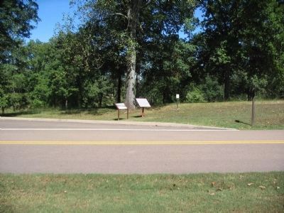
Photographed by Craig Swain
3. Tablet and Marker at Tour Stop Two
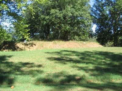
Photographed by Craig Swain, September 4, 2010
4. Section of the Inner Fort Wall
Photographed by Shane Oliver, February 21, 2021
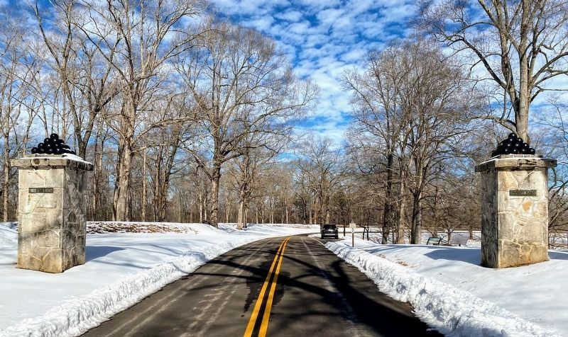
5. Entrance to Fort Donelson
Note that this is the entrance to the fort via the NPS auto-tour route. The original entrance (sally port) is located a few hundred yards down the ravine to the left of this photo.
Credits. This page was last revised on May 10, 2021. It was originally submitted on November 18, 2010, by Craig Swain of Leesburg, Virginia. This page has been viewed 803 times since then and 31 times this year. Last updated on May 4, 2015, by J. Makali Bruton of Washington, District of Columbia. Photos: 1. submitted on November 18, 2010, by Craig Swain of Leesburg, Virginia. 2. submitted on May 10, 2021, by Shane Oliver of Richmond, Virginia. 3, 4. submitted on November 18, 2010, by Craig Swain of Leesburg, Virginia. 5. submitted on May 10, 2021, by Shane Oliver of Richmond, Virginia. • Andrew Ruppenstein was the editor who published this page.
