Near Vandalia in Miami County, Ohio — The American Midwest (Great Lakes)
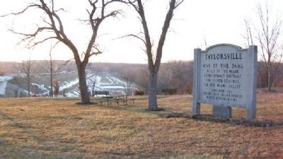
Taylorsville
Miami Conservancy District
for flood control in
the Miami Valley
Completed 1922
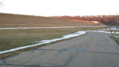
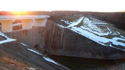
Height 78 ft. Length 3000 ft.
Width at base 415 ft.
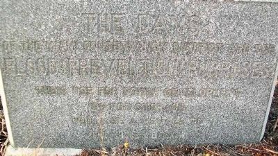
The Dams
of the Miami Conservancy District
are for
Flood Prevention Purposes
Their use for power development
or for storage would be
a menace to the cities below
Erected by Miami Conservancy District.
Topics. This historical marker is listed in these topic lists: Disasters • Man-Made Features • Waterways & Vessels. A significant historical year for this entry is 1922.
Location. 39° 52.468′ N, 84° 9.651′ W. Marker is near Vandalia, Ohio, in Miami County. Marker is at the intersection of National Road (U.S. 40) and Bridgewater Road, on the left when traveling east on National Road. Touch for map. Marker is in this post office area: Tipp City OH 45371, United States of America. Touch for directions.
Other nearby markers. At least 8 other markers are within 4 miles of this marker, measured as the crow flies. Tadmor - Taylorsville (approx. half a mile away); The Village of Tadmor / The National Road (approx. 1.6 miles away); Phoneton (approx. 2.1 miles away); a different marker also named Phoneton (approx. 2.2 miles away); The Crossroads of America (approx. 2.4 miles away); Joseph Calvin Paul Memorial Boulevard (approx. 2.7 miles away); Vandalia Veterans Memorial (approx. 3.2 miles away); Huber Heights Veterans Memorial (approx. 4 miles away). Touch for a list and map of all markers in Vandalia.
Related marker. Click here for another marker that is related to this marker.
Also see . . .
1. Miami Conservancy District. Wikipedia entry (Submitted on February 12, 2024, by Larry Gertner of New York, New York.)
2. The Great Flood of 1913. Miami Conservancy District website entry (Submitted on May 10, 2015, by William Fischer, Jr. of Scranton, Pennsylvania.)
Credits. This page was last revised on February 12, 2024. It was originally submitted on May 10, 2015, by William Fischer, Jr. of Scranton, Pennsylvania. This page has been viewed 566 times since then and 29 times this year. Photos: 1, 2, 3, 4, 5. submitted on May 10, 2015, by William Fischer, Jr. of Scranton, Pennsylvania.
