Clifton in Wayne County, Tennessee — The American South (East South Central)
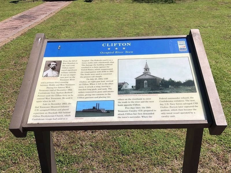
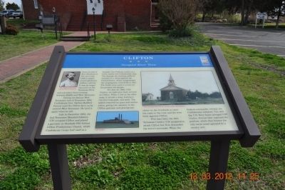
Clifton
Occupied River Town
During his famous West Tennessee raid on December 1862, Confederate Gen. Nathan Bedford Forrest used the Clifton ferry as he entered West Tennessee. He used it again when he left.
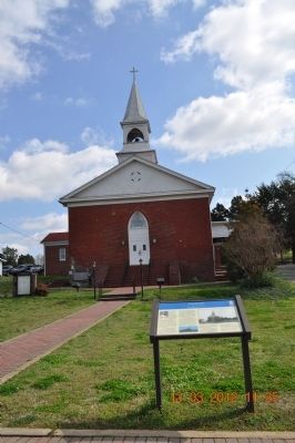
Late in December 1863, the 2nd Tennessee Mounted Infantry (US) occupied Clifton and placed a garrison on Stockade Hill behind Clifton Presbyterian Church, which Confederate troops had used as a hospital. The Federals used it as a livery stable and a blacksmith shop. The damage the building suffered resulted in a claim against the United States, which compensated the congregation with $780 in 1915. The funds were used to construct the present tall steeple.
On July 15, 1864, USS Undine, an eight-gun boat, arrived at Clifton. When it left in the afternoon, it struck a snag, tearing a two-foot long gash, and sank. The sailors removed its guns and ammunition, giving two cannons to the Clifton garrison and placing two others on the riverbank to cover the roads to the river and the west bank opposite Clifton.
Five days later, the 19th Tennessee Cavalry (CS) prepared to attack Clifton but first demanded the town’s surrender. When the Federal commander refused, the Confederates withdrew. The next day, U.S. Navy forces salvaged USS Undine. Forrest later captured the gunboat, which then became the only naval vessel operated by a cavalry unit.
Erected 2012 by Tennessee Civil War Trails.
Topics and series. This historical marker is listed in this topic list: War, US Civil. In addition, it is included in the Tennessee Civil War Trails series list. A significant historical month for this entry is July 1854.
Location. 35° 23.077′ N, 87° 59.668′ W. Marker is in Clifton, Tennessee, in Wayne County. Marker is on Main Street. Touch for map. Marker is at or near this postal address: 303 Main Street, Clifton TN 38425, United States of America. Touch for directions.
Other nearby markers. At least 8 other markers are within 7 miles of this marker, measured as the crow flies. Hughes House (approx. 0.2 miles away); Here the Command of Bedford Forrest Crossed the River (approx. 0.2 miles away); Forrest Crosses Tennessee River (approx. 0.2 miles away); Clifton Veterans Memorial (approx. 0.2 miles away); The Stribling House Museum (approx. ¼ mile away); Evans Chapel United Methodist Church (approx. 3.1 miles away); Forrest's Raid (approx. 5.9 miles away); Dr. B.M. Brooks House (approx. 6.6 miles away). Touch for a list and map of all markers in Clifton.
Credits. This page was last revised on April 10, 2023. It was originally submitted on March 15, 2012, by Sandra Hughes Tidwell of Killen, Alabama, USA. This page has been viewed 883 times since then and 58 times this year. Last updated on May 12, 2015, by J. Makali Bruton of Accra, Ghana. Photos: 1. submitted on April 10, 2023, by Duane and Tracy Marsteller of Murfreesboro, Tennessee. 2, 3. submitted on March 15, 2012, by Sandra Hughes Tidwell of Killen, Alabama, USA. • Bernard Fisher was the editor who published this page.


