Near Bolivar in Jefferson County, West Virginia — The American South (Appalachia)
A Moving Symbol
Harpers Ferry National Historical Park
— National Park Service, U.S. Department of the Interior —
In it really began the Civil War.
Here was lighted the torch of liberty for all America…
For you this is the most hallowed shrine in this country. Henry McDonald, Storer College president
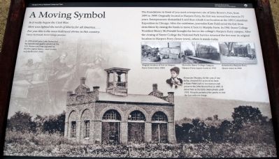
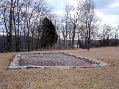
The foundations in front of you mark a temporary site of John Brown’s Fort, from 1895 to 1909. Originally located in Harpers Ferry, the fort was moved four times in 75 years. Entrepreneurs dismantled it and then rebuilt it on location at the 1893 Columbian Exposition in Chicago. After the exhibition, journalist Kate Field saved the fort from demolition by raising the funds to move it here to Murphy Farm. In 1901 Storer College President Henry McDonald brought the fort to the college’s Harpers Ferry campus. After the closing of Storer College the National Park Service returned the fort near its original location in Harpers Ferry (lower town), where it stands today.
Erected by National Park Service, U.S. Department of the Interior.
Topics and series. This historical marker is listed in these topic lists: African Americans • Notable Buildings • War, US Civil. In addition, it is included in the Historically Black Colleges and Universities series list. A significant historical year for this entry is 1895.
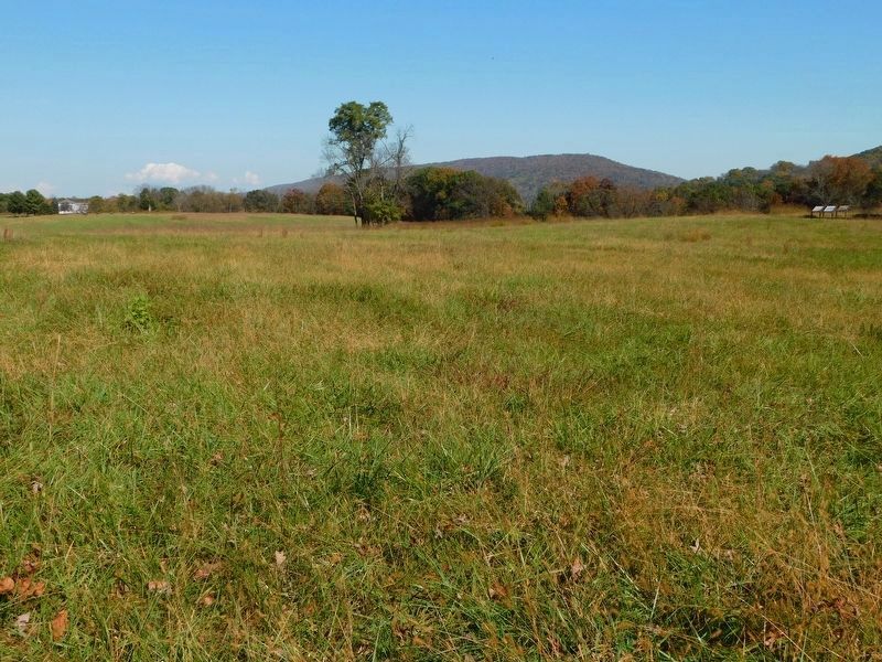
Location. 39° 18.481′ N, 77° 45.703′ W. Marker is near Bolivar, West Virginia, in Jefferson County. Marker can be reached from Murphy Road, on the right when traveling south. Located on the Murphy Farm trail in the Harpers Ferry National Historical Park. The Trail can be reached from the park's visitor center, located on Shoreline Drive south of Highway 340. Touch for map. Marker is in this post office area: Harpers Ferry WV 25425, United States of America. Touch for directions.
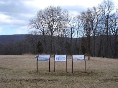
Other nearby markers. At least 8 other markers are within walking distance of this marker. Pilgrimage (here, next to this marker); Holy Ground (here, next to this marker); The Murphy Farm (within shouting distance of this marker); Mountains, Men, and Maneuvers (about 400 feet away, measured in a direct line); Sheridan Dug In (about 800 feet away); The Fate of Harpers Ferry was sealed. (approx. 0.2 miles away); Struggle to the Heights (approx. ¼ mile away); From Civil War to Civil Rights / Battle of Harpers Ferry (approx. 0.3 miles away). Touch for a list and map of all markers in Bolivar.
More about this marker. The background of the marker is a photo of John Brown’s Fort at the Murphy Farm location.
On the left side of the marker is a background sketch of John Brown and several of his followers barricaded in the “fort”. The caption reads: “In 1859 abolitionist John Brown led his famous raid against slavery on the U.S. Armory and was captured in the
fire engine house—now known as John Brown’s Fort.”
On the right side of the marker is a photo of Kate Field captioned: “Alexander Murphy, for the sum of one dollar, donated five acres of his farm to Kate Field (left) to reconstruct and preserve the John Brown Fort in 1895. It stood here at the farm (main photo) until 1910. Murphy permitted the public to visit the fort without charge.”
Also see . . . John Brown Fort. National Park Service page detailing the history of the "fort." (Submitted on June 13, 2008.)
Credits. This page was last revised on July 29, 2021. It was originally submitted on June 13, 2008. This page has been viewed 2,201 times since then and 63 times this year. Photos: 1, 2, 3. submitted on June 13, 2008. 4. submitted on April 24, 2021, by Bradley Owen of Morgantown, West Virginia. • Craig Swain was the editor who published this page.


