Hancock in Washington County, Maryland — The American Northeast (Mid-Atlantic)
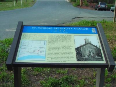
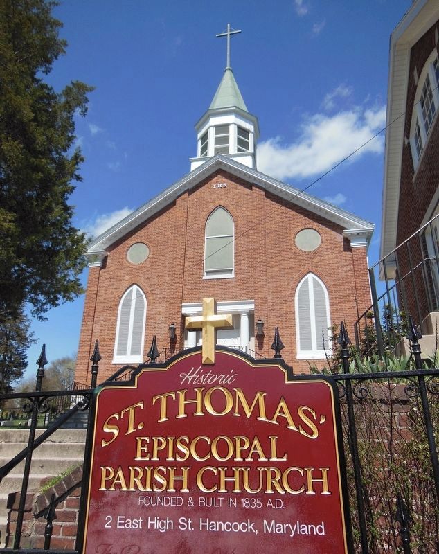
St. Thomas Episcopal Church
Unintended Target
Before you, at the top of Church Street, stands St. Thomas Episcopal Church, which became an unintended target of Gen. Thomas J. “Stonewall” Jackson’s artillery on January 5-6, 1862. Jackson had led his force from Winchester, Virginia to destroy as much of the Baltimore and Ohio Railroad and the Chesapeake and Ohio Canal as possible while driving Federal units before him to Hancock. He reached the Potomac River south of the town on January 5 and demanded that Gen. F. W. Lander and his Union command surrender, shelling them from Orrick’s Hill (named for the home of Confederate congressman Johnson Orrick). When Union reinforcements arrived, Jackson decided to withdraw and march to Romney (in present-day West Virginia) on January 7. Before he departed, however, he ordered Col. Harry Gilmore to plunder a supply train of rifles, ammunition, and other supplies.
With Jackson’s departure, the threat to Hancock ended. The U.S. troops here prevented a Confederate invasion of the North.
Topics and series. This historical marker is listed in these topic lists: Churches & Religion • War, US Civil. In addition, it is included in the Baltimore and Ohio Railroad (B&O), the Chesapeake and Ohio (C&O) Canal, and the Maryland Civil War Trails series lists. A significant historical month for this entry is January 1863.
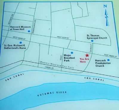
Location. This marker has been replaced by another marker nearby. It was located near 39° 41.897′ N, 78° 10.671′ W. Marker was in Hancock, Maryland, in Washington County. Marker was on Church Street south of Main Street (Maryland Route 144), on the left when traveling south. There is plenty of metered parking in the town lot to the left of the marker. Touch for map. Marker was in this post office area: Hancock MD 21750, United States of America. Touch for directions.
Other nearby markers. At least 5 other markers are within walking distance of this location. Gettysburg Campaign (here, next to this marker); a different marker also named St. Thomas Episcopal Church (here, next to this marker); Hancock (a few steps from this marker); a different marker also named Hancock (within shouting distance of this marker); Hancock Station (within shouting distance of this marker). Touch for a list and map of all markers in Hancock.
More about this marker. Orrick’s Hill is across the Potomac River in (West) Virginia. Maryland is just two miles wide here at Hancock. West Virginia is just across the Potomac River to the south and Pennsylvania is across the Mason-Dixon Line to the north.
Related marker. Click here for another marker that is related to this marker. This marker has been replaced with the linked marker, which has a different inscription.
Also see . . .
Hancock, Maryland. Wikipedia entry (Submitted on July 20, 2022, by Larry Gertner of New York, New York.)
Photographed By J. J. Prats, August 5, 2006
3. Church Street
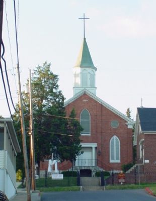
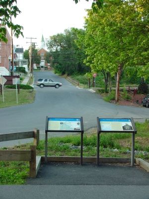
St. Thomas Church can be seen at the top of Church Street two blocks away. Main Street crosses Church Street at the stop sign. During the Civil War, Main Street carried the National Road that ran from Baltimore to Ohio and points west. Behind the photographer is the Chesapeake and Ohio Canal, at the foot of Church street.
Photographed By J. J. Prats, August 5, 2006
4. Bridge over the Chesapeake & Ohio Canal
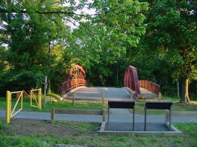
This bridge once carried Church Street over the C&O Canal. The Potomac River is just beyond the trees. The Western Maryland Railroad (now the Western Maryland Rail Trail) did not run through here during the Civil War, but the Baltimore and Ohio Railroad tracks were (and continue to be) just across the river. Today the road bridge across the Potomac is a few blocks west.
Credits. This page was last revised on July 20, 2022. It was originally submitted on January 25, 2007, by J. J. Prats of Powell, Ohio. This page has been viewed 2,707 times since then and 21 times this year. Photos: 1, 2, 3, 4. submitted on January 25, 2007, by J. J. Prats of Powell, Ohio. 5. submitted on December 6, 2006, by J. J. Prats of Powell, Ohio. 6. submitted on January 3, 2021, by Bradley Owen of Morgantown, West Virginia.
