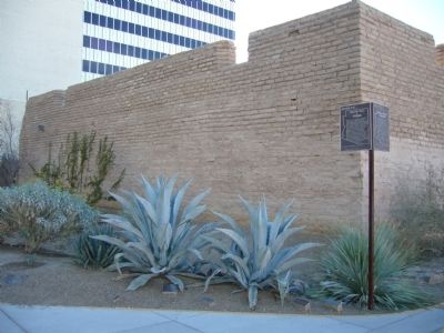
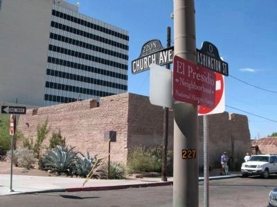
El Presidio in Tucson in Pima County, Arizona — The American Mountains (Southwest)
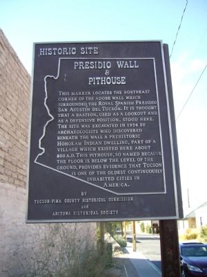
Presidio Wall & Pithouse
[Spanish marker]
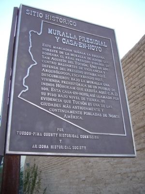
Muralla Presidial y Casa-en-Hoyo
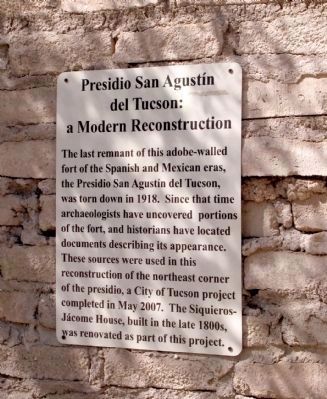
Este marcador señala la esquina noreste de la muralla de adobe que rodeaba el real presidio español de San Agustín del Tucsón. Uno de los cuatro baluartes de vigilancia y defensa del presidio estaba aquí. Arqueólogos, escarbando aquí, descubrieron bajo la muralla una vivienda prehistórica de un pueblo de indios Hóhokam que existía aquí c. A.D. 800. Esta casa-en-hoyo, así llamada por su piso bajo nivel de tierra, es evidencia que Tucsón es una de la ciudades más antiguamente y continuamente pobladas de Norte América.
Erected by Tucson-Pima County Historical Commission and Arizona Historical Society.
Topics and series. This historical marker is listed in these topic lists: Military • Native Americans • Settlements & Settlers. In addition, it is included in the Arizona, The Presidio Trail series list. A significant historical year for this entry is 1954.
Location. 32° 13.478′ N, 110° 58.391′ W. Marker is in Tucson, Arizona, in Pima County. It is in El Presidio. Marker is at the intersection of North Church Avenue and West Washington Street, on the right when traveling south on North Church Avenue. Touch for map. Marker is at or near this postal address: 260 N Church Ave, Tucson AZ 85701, United States of America. Touch for directions.
Other nearby markers. At least 8 other markers are within walking distance of this marker. N.E. Corner Adobe Wall of Spanish Presidio of Tucson (a few steps from this marker); Siqueiros-Jácome House (within shouting distance of this marker); Court Street (about 300 feet away, measured in a direct line); The Stork's Nest (about 300 feet away); Council Street (about 400 feet away); Meyer Street (about 500 feet away); La Casa Cordova (about 500 feet away); Plaza Militar (about 500 feet away). Touch for a list and map of all markers in Tucson.
Related markers. Click here for a list of markers that are related to this marker. To better understand the relationship, study each marker in the order shown.
Photographed By Richard Denney, November 21, 2010
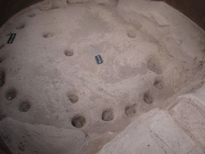
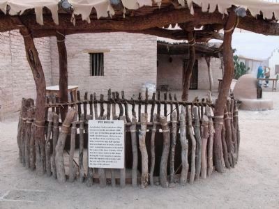
4. Pithouse Display and Marker
Marker reads: Pit House, A prehistoric Native American village was present in this area about 2,000 years ago. At that time, people lived in small, circular houses. Here you can see the floor of one such house. The holes around the edge held saplings that were bent over to created a domed roof. A small fire hearth was located in the center of the floor. A family of four may have taken shelter in this house during the winter months. Centuries later, the Spanish unknowingly built the east wall of the presidio over the edge of the pithouse.
Credits. This page was last revised on June 16, 2016. It was originally submitted on January 6, 2010, by Bill Kirchner of Tucson, Arizona. This page has been viewed 1,486 times since then and 26 times this year. Last updated on May 13, 2015, by J. Makali Bruton of Accra, Ghana. Photos: 1, 2. submitted on January 6, 2010, by Bill Kirchner of Tucson, Arizona. 3. submitted on October 21, 2010, by Richard Denney of Austin, Texas. 4, 5. submitted on November 25, 2010, by Richard Denney of Austin, Texas. 6. submitted on January 6, 2010, by Bill Kirchner of Tucson, Arizona. 7. submitted on October 21, 2010, by Richard Denney of Austin, Texas. • Bill Pfingsten was the editor who published this page.
