Franklin in Simpson County, Kentucky — The American South (East South Central)
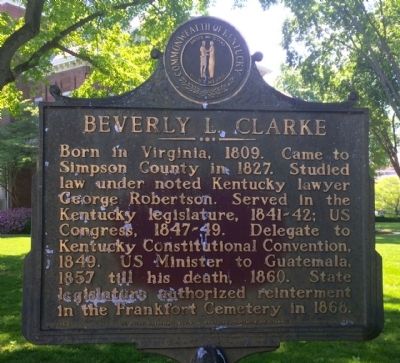
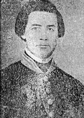
Beverly L. Clarke
Erected 1969 by the Kentucky Historical Society, Kentucky Department of Highways. (Marker Number 1271.)
Topics and series. This historical marker is listed in these topic lists: Cemeteries & Burial Sites • Government & Politics. In addition, it is included in the Kentucky Historical Society series list. A significant historical year for this entry is 1809.
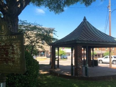
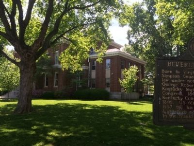
Location. 36° 43.377′ N, 86° 34.686′ W. Marker is in Franklin, Kentucky, in Simpson County. Marker can be reached from the intersection of North Main Street (U.S. 31W) and West Kentucky Avenue. Located within the Courthouse lawn. Touch for map. Marker is at or near this postal address: 117 West Kentucky Avenue, Franklin KY 42134, United States of America. Touch for directions.
Other nearby markers. At least 8 other markers are within walking distance of this marker. Simpson County Civil War Monument (within shouting distance of this marker); Simpson County Desert Shield / Desert Storm Veterans Monument (within shouting distance of this marker); Simpson County Veterans Memorial (within shouting distance of this marker); Carolyn Conn Moore (within shouting distance of this marker); Cash-Carter Wedding / Walk the Line (about 300 feet away, measured in a direct line); County Named, 1819 / Franklin (about 300 feet away); Old Stone Jail / Jailer's Residence (about 400 feet away); Goodnight Memorial Library / Isaac Hershel Goodnight (approx. 0.2 miles away). Touch for a list and map of all markers in Franklin.
Also see . . . Wikipedia article. (Submitted on May 16, 2015, by Mark Hilton of Montgomery, Alabama.)
Credits. This page was last revised on June 16, 2016. It was originally submitted on May 16, 2015, by Mark Hilton of Montgomery, Alabama. This page has been viewed 360 times since then and 11 times this year. Photos: 1, 2, 3, 4. submitted on May 16, 2015, by Mark Hilton of Montgomery, Alabama.


