Monterey in Monterey County, California — The American West (Pacific Coastal)
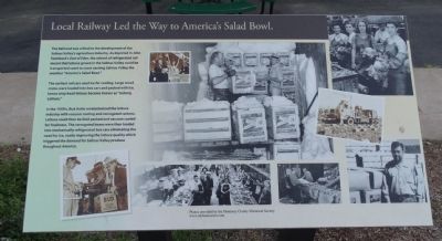
Local Railway Led the Way to America's Salad Bowl.
Photographed by Denise Boose, March 6, 2015
1. Local Railway Led the Way to America's Salad Bowl. Marker
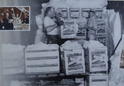
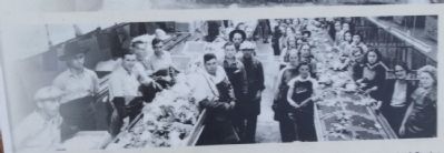
The earliest rail cars used ice for cooling. Large wood crates were loaded into box cars and packed with ice, hence crisp head lettuce became known as "Iceberg Lettuce."
In the 1950's, Bud Antle revolutionized the lettuce industry with vaccum cooling and corrugated cartons. Lettuce could then be field packed and vacuum cooled for freshness. The corrugated boxes were then loaded into mechanically refrigerated box cars eliminating the need for ice, vastly improving the lettuce quality which triggered the demand for Salinas Valley produce thoughout America.
Topics. This historical marker is listed in these topic lists: Agriculture • Railroads & Streetcars.
Location. 36° 36.071′ N, 121° 53.487′ W. Marker is in Monterey, California, in Monterey County. It is
this page online

Regionally, this marker is on the Central Coast and specifically on the Coast Ranges. It is also on the American Pacific Coast. Globally, it is in North America, on the Ring of Fire, on the Pacific Rim, in the Western Hemisphere, in the Western World, and in the Anglosphere. Historically, it finds itself in what was once New Spain and also Mexico’s Alta California.
Other nearby markers. At least 8 other markers are within walking distance of this marker: Monterey's Historic Railway -- from Passengers to Industry (a few steps from this marker); Monterey's Commercial Fishing Fleet (about 300 feet away, measured in a direct line); Monterey and Salinas Valley Railroad (about 400 feet away); Monterey Harbor (about 700 feet away); Captain Don Gaspar de Portola (approx. 0.2 miles away); Monterey Customhouse (approx. 0.2 miles away); Custom House (approx. 0.2 miles away); Rodriguez – Osio Adobe (approx. 0.2 miles away). Touch for a list and map
Photographed by Denise Boose, March 6, 2015
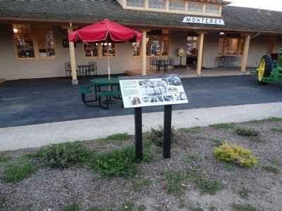
2. Local Railway Led the Way to America's Salad Bowl. Marker - Wide View
Another marker is no longer nearby. Custom House (was approx. 0.2 miles away but has been replaced with another marker now near it).
Photographed by Denise Boose, March 6, 2015
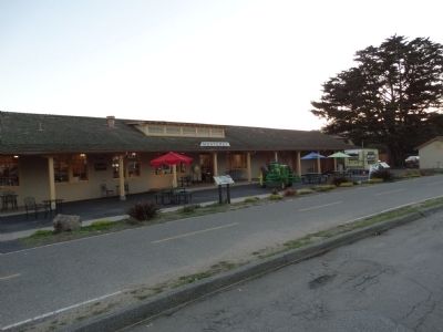
3. Local Railway Led the Way to America's Salad Bowl. Marker
Photographed by Denise Boose, March 6, 2015
4. Local Railway Led the Way to America's Salad Bowl. Marker
Photographed by Denise Boose, March 6, 2015
5. Local Railway Led the Way to America's Salad Bowl. Marker
Photographed by Denise Boose, March 6, 2015
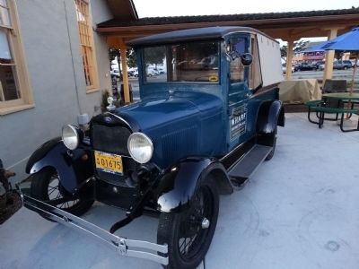
6. Antique produce truck.
Photographed by Denise Boose, March 6, 2015
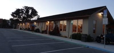
7. Monterey's historic depot, now called "The Wharf Marketplace"
Credits. This page was last revised on June 16, 2016. It was originally submitted on May 16, 2015, by Denise Boose of Tehachapi, California. This page has been viewed 1,100 times since then and 139 times this year. Photos: 1, 2, 3, 4, 5, 6, 7. submitted on May 16, 2015, by Denise Boose of Tehachapi, California. • Andrew Ruppenstein was the editor who published this page.
