Near Berlin in Worcester County, Maryland — The American Northeast (Mid-Atlantic)
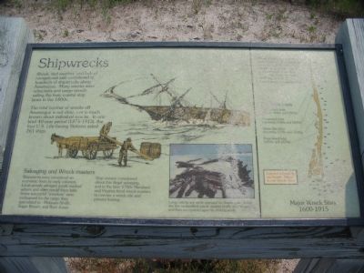
Shipwrecks
Shoals, bad weather, and lack of navigational aids contributed to hundreds of shipwrecks along Assateague. Many wrecks were schooners and cargo vessels sailing the busy coastal ship lanes in the 1800s.
The total number of wrecks off Assateague is not clear, nor is much known about individual wrecks. In one brief 40-year period (1875-1915), the four U.S. Life-Saving Stations aided 261 ships.
Salvaging and Wreck-masters
Shipwrecks were considered an economic boon by early colonists. Local people salvaged goods washed ashore and often resold them later. Some successful "wreckers" were nicknamed for the cargo they specialized in - Molasses Smith, Sugar Brown, and Rum Jones.
Ship owners complained about this illegal salvaging, and in the later 1700s Maryland and Virginia hired wreck-masters to oversee a wreck site and prevent looting.
Topics. This historical marker is listed in this topic list: Waterways & Vessels.
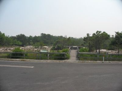
Location. Marker has been reported missing. It was located near 38° 11.909′ N, 75° 9.372′ W. Marker was near Berlin, Maryland, in Worcester County. Marker was at the intersection of Ferry Landing Road and Bayberry Drive, on the right when traveling west on Ferry Landing Road. Was located in a parking area across from the intersection, off Bayberry Drive. The markers were in Assateague Island National Seashore. Touch for map. Marker was in this post office area: Berlin MD 21811, United States of America. Touch for directions.
Other nearby markers. At least 8 other markers are within 3 miles of this location, measured as the crow flies. Native Americans (a few steps from this marker); Saving Lives (within shouting distance of this marker); Olde Sinepuxent (approx. 0.4 miles away); Keep Them Safe / Keep Them Wild (approx. half a mile away); a different marker also named Keep Them Safe / Keep Them Wild (approx. 0.6 miles away); Baltimore Boulevard (approx. 0.7 miles away); Wild and Free (approx. 2.8 miles away); Peregrine Falcon Migration (approx. 2.8 miles away). Touch for a list and map of all markers in Berlin.
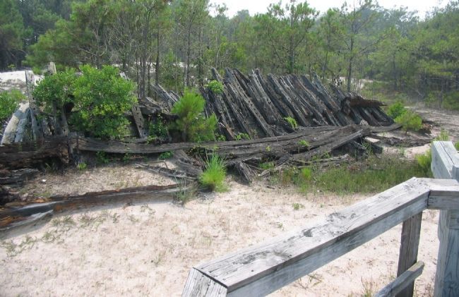
More about this marker. In the center of the marker is a depiction of workers salvaging a wrecked ship. In the lower center is a photograph of a wreck captioned, Large wrecks are rarely exposed on Assateague. Some like this unidentified wreck, appear briefly after storms and then are covered again by shifting sands.On the right is a map of Major Wreck Sites, 1600-1915, but is badly weathered.
Also see . . .
1. Assateague Island National Seashore. National Park Service site. (Submitted on June 15, 2008, by Craig Swain of Leesburg, Virginia.)
2. Shipwrecks and Rescues. Ocean City Lifesaving Museum entry (Submitted on March 12, 2021, by Larry Gertner of New York, New York.)
Credits. This page was last revised on March 12, 2021. It was originally submitted on June 15, 2008, by Craig Swain of Leesburg, Virginia. This page has been viewed 2,256 times since then and 38 times this year. Photos: 1, 2, 3. submitted on June 15, 2008, by Craig Swain of Leesburg, Virginia.


