Columbia in Adair County, Kentucky — The American South (East South Central)
Confederate Raids
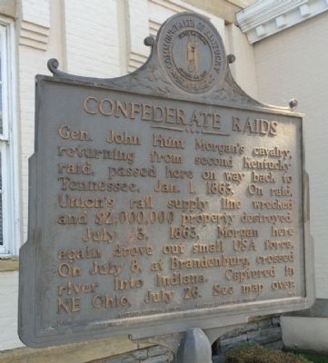
General John Hunt Morgan's cavalry, returning from second Kentucky raid, passed here on way back to Tennessee, Jan. 1, 1863. On raid, Union's rail supply line wrecked and $2,000,000 property destroyed. July 3, 1863, Morgan here again drove out small USA force. On July 8, at Brandenburg, crossed river into Indiana. Captured in NE Ohio, July 26. See map over.
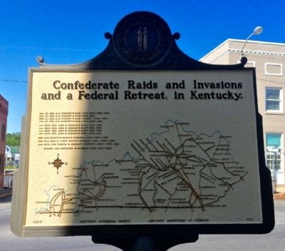
Reverse Map
Confederate Raids and Invasions
and a Federal Retreat, in Kentucky.
Erected 1964 by Kentucky Historical Society and Kentucky Department of Highways. (Marker Number 707.)
Topics and series. This historical marker is listed in these topic lists: Railroads & Streetcars • War, US Civil • Waterways & Vessels. In addition, it is included in the Kentucky Historical Society series list. A significant historical date for this entry is July 3, 1966.
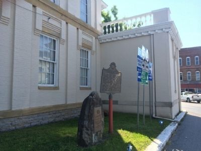
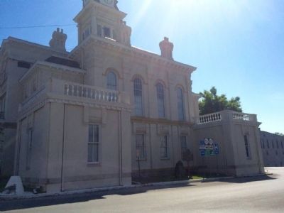
Location. 37° 6.164′ N, 85° 18.37′ W. Marker is in Columbia, Kentucky, in Adair County. Marker is at the intersection of Public Square and Burkesville Street (Kentucky Route 80), on the right when traveling south on Public Square. Touch for map. Marker is at or near this postal address: 424 Public Square, Columbia KY 42728, United States of America. Touch for directions.
Other nearby markers. At least 8 other markers are within walking distance of this marker. Adair County Revolutionary War Memorial (here, next to this marker); Adair County Courthouse (a few steps from this marker); Col. Frank L. Wolford (a few steps from this marker); Jane Lampton Home (within shouting distance of this marker); Frank Lane Wolford (about 700 feet away, measured in a direct line); Columbia-Union Presbyterian Church (approx. 0.2 miles away); Daniel Trabue (1760-1840) (approx. ¼ mile away); Male and Female High School Site / Student Parking in the 1850s (approx. ¼ mile away). Touch for a list and map of all markers in Columbia.
Also see . . . The Raid Begins: Morgan’s Raiders in Kentucky. (Submitted on May 18, 2015, by Mark Hilton of Montgomery, Alabama.)
Additional commentary.
1. Marker restored and repainted.
Adair County Historical Association member, Ed Vincent, restored and repainted this marker for its re-unveiling on May 2nd, 2018 in Columbia. Mr. Vincent has restored other markers in the county as well and is in demand by other counties.
— Submitted May 3, 2018, by Mark Hilton of Montgomery, Alabama.
Credits. This page was last revised on September 11, 2022. It was originally submitted on May 18, 2015, by Mark Hilton of Montgomery, Alabama. This page has been viewed 749 times since then and 44 times this year. Photos: 1, 2, 3, 4. submitted on May 18, 2015, by Mark Hilton of Montgomery, Alabama.
Editor’s want-list for this marker. Photo of both sides of the repainted marker. • Can you help?


