Near Mountain Pass in San Bernardino County, California — The American West (Pacific Coastal)
Western Expansion
Photographed by Craig Baker, April 23, 2023
1. Western Expansion Marker
Topics. This historical marker is listed in these topic lists: Exploration • Roads & Vehicles. A significant historical year for this entry is 1776.
Location. 35° 26.144′ N, 115° 42.089′ W. Marker is near Mountain Pass, California, in San Bernardino County. It is on Interstate 15 26 miles south of Primm, on the right when traveling south. Located at Valley Wells Rest Area on the south-bound side of Interstate 15. Touch for map. Marker is in this post office area: Nipton CA 92364, United States of America. Touch for directions.

Regionally, this marker is in Greater Los Angeles, in the Mojave Desert, in the Peninsular Ranges, and specifically
this page online
Other nearby markers. At least 8 other markers are within 12 miles of this marker, measured as the crow flies: Who Has Lived Here? (here, next to this marker); Movement in the Desert (here, next to this marker); Ranching and Mining (a few steps from this marker); Railroads Revolutionize Transportation (a few steps from this marker); Modern Highways (a few steps from this marker); Valley Wells (within shouting distance of this marker); Footprints in Time (approx. 0.2 miles away); Teutonia Peak Trail (approx. 11.8 miles away). Touch for a list and map of all markers in Mountain Pass.
Photographed by Denise Boose, May 18, 2015
2. Western Expansion Marker
Photographed by Denise Boose, May 18, 2015
3. Western Expansion Marker
Photographed by Denise Boose, May 18, 2015
4. Western Expansion Marker
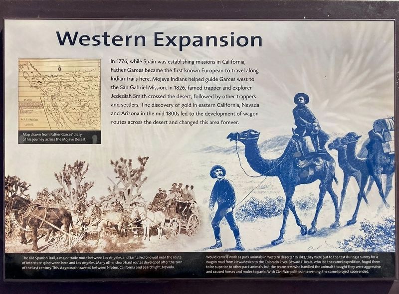
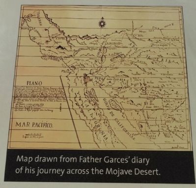
Map drawn from Father Garces' diary of his journey across the Mojave Desert.
Photographed by Denise Boose, May 18, 2015
5. Western Expansion Marker
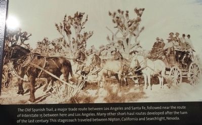
The Old Spanish Trail, a major trade route between Los Angeles and Santa Fe, followed near the route of Interstate 15 between here and Los Angeles. Many other short-haul routes developed after the turn of the last century. This stagecoach traveled Nipton, California and Searchlight, Nevada.
Photographed by Denise Boose, May 18, 2015
6. Western Expansion Marker
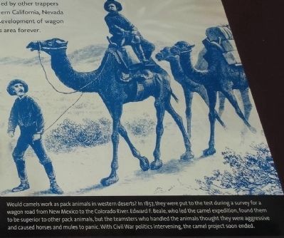
Would camels work as pack animals in western deserts? In 1857, they were put to the test during a survey for a wagon road from New Mexico to the Colorado River. Edward F. Beale, who led the camel expedition, found them to be superior to other pack animals, but the teamsters who handled the animals thought they were aggressive and caused horses and mules to panic. With Civil War politics intervening, the camel project soon ended.
Photographed by Craig Baker, April 23, 2023
7. Sculpted Landforms
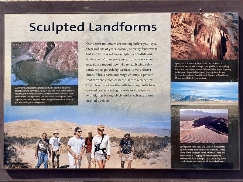
Other interpretive signs describe natural features.
Credits. This page was last revised on April 25, 2023. It was originally submitted on May 19, 2015, by Denise Boose of Tehachapi, California. This page has been viewed 656 times since then and 18 times this year. Photos: 1. submitted on April 25, 2023, by Craig Baker of Sylmar, California. 2, 3, 4, 5, 6. submitted on May 19, 2015, by Denise Boose of Tehachapi, California. 7. submitted on April 25, 2023, by Craig Baker of Sylmar, California. • Andrew Ruppenstein was the editor who published this page.
