Near Manassas in Prince William County, Virginia — The American South (Mid-Atlantic)
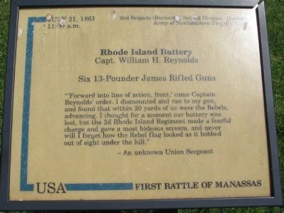
Rhode Island Battery
— First Battle of Manassas —
11:00 a.m.
2nd Brigade (Burnside, Second Division (Hunter)
Army of Northeastern Virginia, USA
Rhode Island Battery
Capt. William H. Reynolds
Six 13-Pounder James Rifled Guns
"'Forward into line of action, front,' came Captain Reynolds' order. I dismounted and ran to my gun, and found that within 20 yards of us were the Rebels, advancing. I thought for a moment our battery was lost, but the 2d Rhode Island Regiment made a fearful charge and gave a most hideous scream, and never will I forget how the Rebel flag looked as it bobbed out of sight under the hill."
-An unknown Union Sergeant
Topics. This historical marker is listed in this topic list: War, US Civil. A significant historical date for this entry is July 21, 1861.
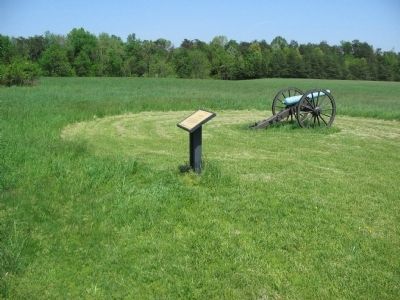
Location. This marker has been replaced by another marker nearby. 38° 49.492′ N, 77° 31.889′ W. Marker is near Manassas, Virginia, in Prince William County. Marker can be reached from Sudley Road (State Highway 234) half a mile north of Lee Highway (U.S. 29), on the right when traveling north. Located along the Matthews Hill trail in Manassas National Battlefield Park. Touch for map. Marker is in this post office area: Manassas VA 20109, United States of America. Touch for directions.
Other nearby markers. At least 8 other markers are within walking distance of this location. The Fight for Matthews Hill (here, next to this marker); 4th Alabama Infantry (about 500 feet away, measured in a direct line); 2nd Rhode Island Infantry (about 500 feet away); Blocking the Union Advance (about 500 feet away); The Matthew Farm (about 600 feet away); U.S. Infantry Battalion (approx. 0.2 miles away); First Contact (approx. 0.2 miles away); Matthews Hill (approx. 0.2 miles away). Touch for a list and map of all markers in Manassas.
More about this marker. This marker was replaced by a new one named The Fight for Matthews Hill (see nearby markers).
Regarding Rhode Island Battery. Despite the claim of the marker, virtually every reference to this variety of James rifle refers to it as a "14-pounder". Only one very early reference mentions a "a James projectile of about 13 pounds".
Also see . . .
1. Battery A, 1st Rhode Island Light Artillery Regiment. Wikipedia entry (Submitted on September 22, 2023, by Larry Gertner of New York, New York.)
2. James rifle. Wikipedia entry (Submitted on September 22, 2023, by Larry Gertner of New York, New York.)
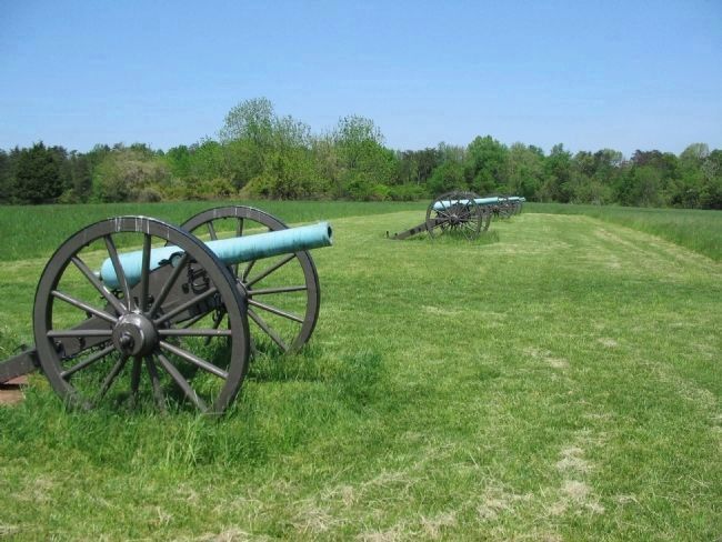
Photographed By Craig Swain, May 4, 2008
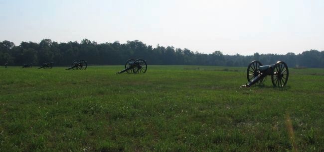
3. The Rhode Island Battery
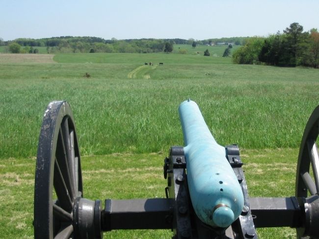
Five cannon mark the battery's location. Four of these are 13-pounder James Rifled cannon. Two are a 6-pounder smoothbore Model 1861 field gun. Externally both types are similar, with the difference being the bore size, rifling, and the presence of a blade site on the muzzle of the rifles.
Credits. This page was last revised on September 22, 2023. It was originally submitted on June 16, 2008, by Craig Swain of Leesburg, Virginia. This page has been viewed 1,204 times since then and 38 times this year. Last updated on August 15, 2022, by Carl Gordon Moore Jr. of North East, Maryland. Photos: 1, 2, 3, 4. submitted on June 16, 2008, by Craig Swain of Leesburg, Virginia. 5. submitted on July 28, 2008, by Craig Swain of Leesburg, Virginia. • Bernard Fisher was the editor who published this page.
