
Maysville in Mason County, Kentucky — The American South (East South Central)
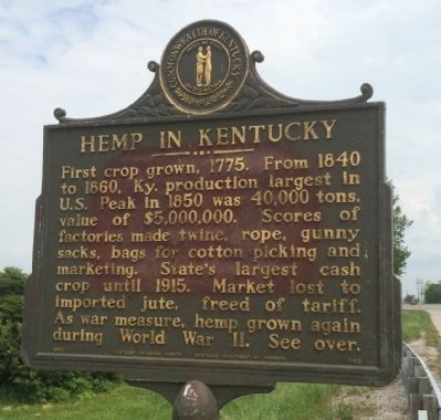
Hemp in Kentucky
⎯⎯⎯
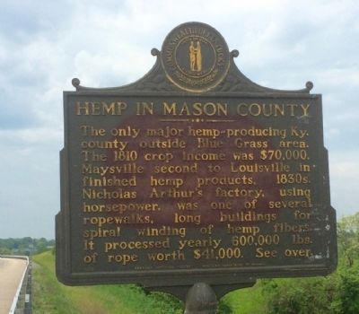
Hemp in Mason County
Photographed by Mark Hilton, May 10, 2015
1. Hemp in Kentucky Marker
Erected 1968 by the Kentucky Historical Society, Kentucky Department of Highways. (Marker Number 1165.)
Topics and series. This historical marker is listed in these topic lists: Agriculture • Industry & Commerce • War, World II. In addition, it is included in the Kentucky Historical Society series list. A significant historical year for this entry is 1775.
Location. 38° 37.441′ N,
this page online

Regionally, this marker is in Kentucky’s Outer Bluegrass. It is also in the American South, specifically in the Upper South, and in the Ohio River Valley. Globally, it is in North America, the Western Hemisphere, the Western World, and the Anglosphere. Historically, it finds itself in what was once the territory of the Mississippian Culture and also the Antebellum South.
Other nearby markers. At least 8 other markers are within walking distance of this marker: Alexander W. Doniphan (approx. ¼ mile away); Dr. William Goforth House (approx. 0.4 miles away); Mefford's Fort (approx. half a mile away); Site of First Postal Station (approx. half a mile away); Murphy-Lasbrooke Home (approx. half a mile away); Brodrick Tavern (approx. half a mile away); Old Church Museum (approx. half a mile away); Tollhouses
Photographed by Mark Hilton, May 10, 2015
2. Hemp in Mason County Marker
Photographed by Mark Hilton, May 10, 2015
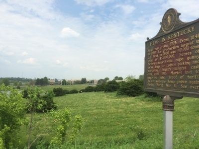
3. Marker located near Maysville Community & Technical College.(background)
Photographed by Mark Hilton, May 10, 2015
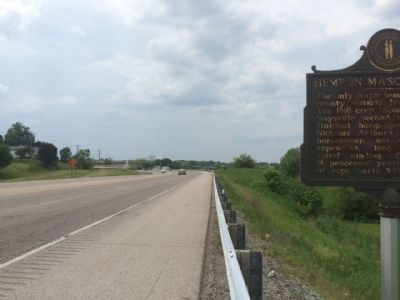
4. View west on U.S. Highway 62.
Credits. This page was last revised on June 16, 2016. It was originally submitted on May 22, 2015, by Mark Hilton of Montgomery, Alabama. This page has been viewed 591 times since then and 22 times this year. Photos: 1, 2, 3, 4. submitted on May 22, 2015, by Mark Hilton of Montgomery, Alabama.
