Near New Market in Shenandoah County, Virginia — The American South (Mid-Atlantic)
Rude’s Hill
Knoll of Refuge and Attack
— 1864 Valley Campaign —
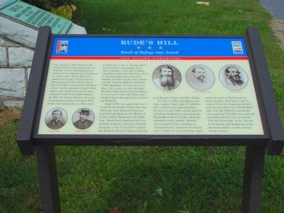
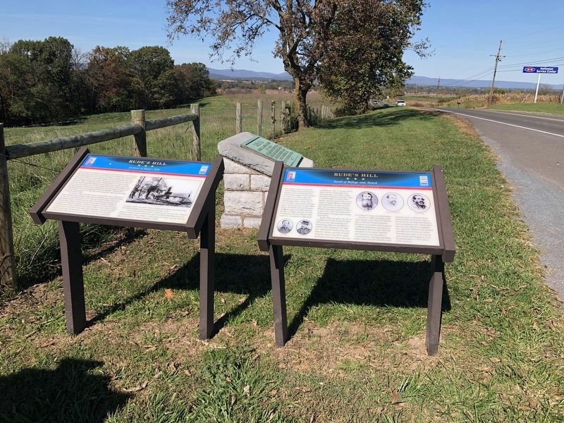
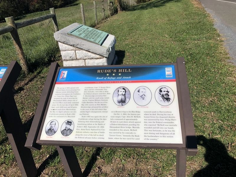
The spring of 1864 opened with United States forces pressing Confederate armies defending fronts scattered throughout the Confederacy. Union Gen. Franz Sigel was assigned the task of securing the Shenandoah Valley; always one of the Civil War’s most hotly contested areas. On the last day of April 1864, Sigel, with 9,000 men and 28 guns, marched south from Martinsburg. By May 11, Sigel’s advance ran into Confederates posted at Rude’s Hill under the command of a Maryland Confederate, Capt. T. Sturgis Davis. Davis and his commander, Gen. John Imboden, were able to delay the Federal advance until Gen. John C. Breckinridge arrived at New Market with his small army, including the Virginia Military Institute Cadet Battalion. On the eve of his May 15th success at New Market, Breckinridge advanced his artillery to the crest of this hill where they shelled Sigel’s disorganized, retreating Federals.
Rude’s Hill was again the site of Confederate refuge during the days following their demoralizing and humiliating defeat at the Battle of Fisher’s Hill, September 22, 1864. Gen. Jubal Early deployed his Confederate infantry into line of battle along the crest of the hill to check the Federal advance before retiring on to Brown’s Gap in the Blue Ridge.
On Oct. 3. 1864, the famous partisan ranger, Capt. John H. McNeill, led a command of approximately 50 men in a predawn attack against a Federal detachment guarding the Shenandoah River bridge. Mortally wounded in this attack, McNeill was carried by his comrades to “Locust Grove,” formerly the Rude home, where he was cared for until removed south to Harrisonburg where he died. During his stay at Locust Grove his disguised identity was uncovered by Gen. Philip Sheridan, now the Federal commander, who reported “McNeill was mortally wounded and fell into our hands. This was fortunate, as he was the most daring and dangerous of all the bushwackers in this section of the country.”
Erected by Virginia Civil War Trails.
Topics. This historical marker is listed in this topic list: War, US Civil. A significant historical month for this entry is April 1864.
Location. 38° 42.16′ N, 78° 38.917′ W. Marker is near New Market, Virginia, in Shenandoah County. Marker is on Old Valley Pike (U.S. 11) south of Caverns Road at Exit 269 (Interstate 81), on the right when traveling south. Touch for map. Marker is in this post office area: New Market VA 22844, United States of America. Touch for directions.
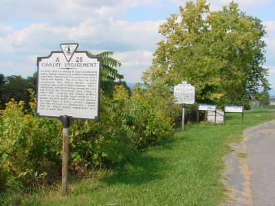
Other nearby markers. At least 8 other markers are within walking distance of this marker. A different marker also named Rude's Hill (here, next to this marker); Rude’s Hill Action (here, next to this marker); a different marker also named Rude’s Hill (a few steps from this
Photographed By Devry Becker Jones (CC0), October 17, 2020
2. Rude’s Hill Marker
Unfortunately, the marker has weathered.
Also see . . .
1. Battle of New Market. Encyclopedia Virginia website entry (Submitted on May 26, 2022, by Larry Gertner of New York, New York.)
2. Cadets in the Fray. Shotgun's Home of the American Civil War website entry (Submitted on January 27, 2007.)
3. Battle of New Market Books. List of books on the battle of New Market at Amazon.com. Some books on this list have the "look inside" feature. (Submitted on January 27, 2007.)
Credits. This page was last revised on May 26, 2022. It was originally submitted on January 27, 2007, by J. J. Prats of Powell, Ohio. This page has been viewed 3,368 times since then and 73 times this year. Last updated on March 25, 2009, by Robert H. Moore, II of Winchester, Virginia. Photos: 1. submitted on January 27, 2007, by J. J. Prats of Powell, Ohio. 2, 3. submitted on October 18, 2020, by Devry Becker Jones of Washington, District of Columbia. 4. submitted on January 27, 2007, by J. J. Prats of Powell, Ohio. 5. submitted on December 6, 2006, by J. J. Prats of Powell, Ohio. • Kevin W. was the editor who published this page.
