Downtown in Nashville in Davidson County, Tennessee — The American South (East South Central)
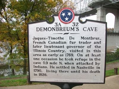
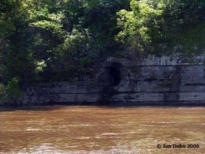
Demonbreum's Cave
Erected by Tennessee Historical Commission. (Marker Number 3A 32.)
Topics and series. This historical marker is listed in these topic lists: Communications • Exploration • Industry & Commerce • Native Americans • Settlements & Settlers. In addition, it is included in the Tennessee Historical Commission series list. A significant historical year for this entry is 1769.
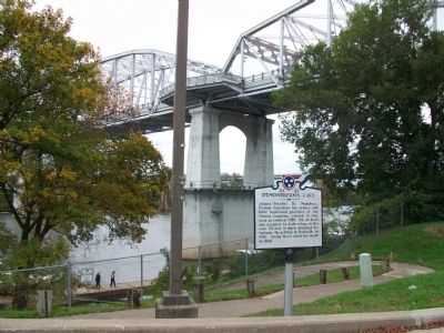
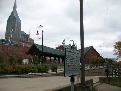
Location. 36° 9.705′ N, 86° 46.402′ W. Marker is in Nashville, Tennessee, in Davidson County. It is in Downtown. Marker can be reached from 1st Avenue South, on the right when traveling north. Marker is along the Cumberland River next to Music City Star Train Depot and pedestrian bridge, south of Riverfront Park. Touch for map. Marker is in this post office area: Nashville TN 37201, United States of America. Touch for directions.
Other nearby markers. At least 8 other markers are within walking distance of this marker. Sampson W. Keeble (about 500 feet away, measured in a direct line); Shelby Street Bridge (about 700 feet away); Nashville Bridge Company (about 700 feet away); Timothy Demonbreun (approx. 0.2 miles away); Battle of the Bluffs (approx. 0.2 miles away); Surrender of Nashville East Bank of the Cumberland (approx. 0.2 miles away); Native American Plaza (approx. 0.2 miles away); The First Peoples (approx. 0.2 miles away). Touch for a list and map of all markers in Nashville.
Credits. This page was last revised on February 7, 2023. It was originally submitted on November 7, 2009, by Kathy Walker of Stafford, Virginia. This page has been viewed 1,840 times since then and 72 times this year. Last updated on May 29, 2015, by J. Makali Bruton of Accra, Ghana. Photos: 1, 2, 3. submitted on November 7, 2009, by Kathy Walker of Stafford, Virginia. 4. submitted on January 2, 2011, by Jan Duke of Nashville, Tennessee. • Bill Pfingsten was the editor who published this page.


