
Near Greenwater in Pierce County, Washington — The American West (Northwest)
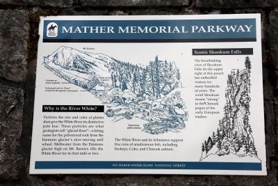
Why is the River White?
Scenic Skookum Falls
| — | Mather Memorial Parkway | — |
Photographed by J. J. Prats, May 17, 2015
1. Why is the River White? Marker
Scenic Skookum Falls. The breathtaking view of Skookum Falls (to the upper right of this panel) has enthralled visitors for many hundreds of years. The word Skookum means “strong” in the Chinook jargon of the early European traders.
Erected by Mt. Baker-Snoqualmie National Forest.
Topics. This historical marker is listed in this topic list: Natural Features.
Location. 47° 3.166′ N, 121° 34.325′ W. Marker is near Greenwater, Washington, in Pierce County. It is on Chinook Pass Highway (State Highway 410) 7½ miles south of Greenwater, on the right when traveling
this page online

Regionally, this marker is in the Puget Sound Region and in Greater Seattle. It is also on the American Pacific Coast, in the Pacific Northwest, and in the Lewis & Clark Corridor. Globally, it is in North America, in the Cascade Range, in the Inside Passage, on the Ring of Fire, in the Pacific Rim, in the Western Hemisphere, in the Western World, and in the Anglosphere.
Other nearby markers. At least one other marker is within walking distance of this marker: Mud on the Move (here, next to this marker).
Photographed by J. J. Prats, May 17, 2015
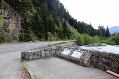
2. Mud on the Move and Why is the River White? Markers
Photographed by J. J. Prats, May 17, 2015
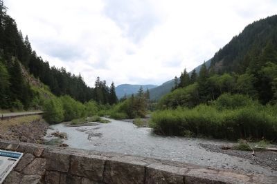
3. The White River at Skookum Creek
Photographed by J. J. Prats, May 17, 2015
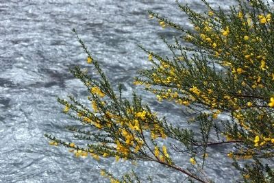
4. The White River Looking White
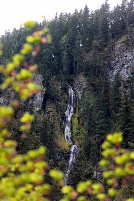
Photographed by J. J. Prats, May 17, 2015
5. Skookum Falls
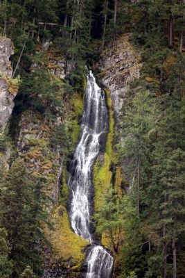
Photographed by J. J. Prats, May 17, 2015
6. Skookum Falls
Credits. This page was last revised on June 16, 2016. It was originally submitted on June 15, 2015, by J. J. Prats of Powell, Ohio. This page has been viewed 1,379 times since then and 107 times this year. Photos: 1, 2, 3, 4, 5, 6. submitted on June 15, 2015, by J. J. Prats of Powell, Ohio.
