Centerville in Montgomery County, Ohio — The American Midwest (Great Lakes)
Sugar Creek Baptist Church Cemetery
“Old Centerville Cemetery”
Inscription.
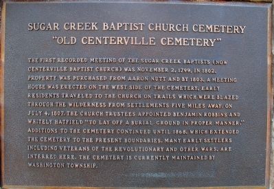
The first recorded meeting of the Sugar Creek Baptists (now
Centerville Baptist Church) was November 2, 1799. In 1802,
property was purchased from Aaron Nutt and by 1803, a meeting
house was erected on the west side of the cemetery. Early
residents traveled to the church on trails which were blazed
through the wilderness from settlements five miles away. On
July 4, 1807, the Church Trustees appointed Benjamin Robbins and
Whitely Hatfield “to lay off a burial ground in proper manner.”
Additions to the cemetery continued until 1865, which extended
the cemetery to the present boundaries. Many early settlers
including veterans of the Revolutionary and other wars, are
interred here. The cemetery is currently maintained by
Washington Township.
Topics. This historical marker is listed in these topic lists: Cemeteries & Burial Sites • Settlements & Settlers. A significant historical month for this entry is July 1941.
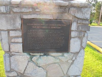
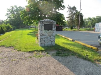
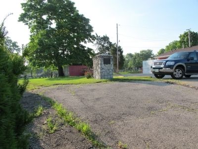
Location. 39° 38.202′ N, 84° 9.476′ W. Marker is in Centerville, Ohio, in Montgomery County. Marker is on Main Street (Ohio Route 725), on the right when traveling north. marker is on a stone gate post at the drive leading back to the cemetery. Touch for map. Marker is at or near this postal address: 288 N Main St, Dayton OH 45459, United States of America. Touch for directions.
Other nearby markers. At least 8 other markers are within 5 miles of this marker, measured as the crow flies. Sugar Creek Friends Cemetery (approx. 1˝ miles away); Centerville Veterans Memorial (approx. 1.6 miles away); Mad River Road / Road from Cunningham’s to Mad River (approx. 3 miles away); Mad River Road / Road From Cunningham's to Mad River (approx. 3.1 miles away); Brigadier General Edmund Munger (approx. 3.3 miles away); Cassano’s Pizza King® (approx. 3.7 miles away); Zion Memorial Church (approx. 4.9 miles away); Miamisburg (approx. 5 miles away). Touch for a list and map of all markers in Centerville.
Credits. This page was last revised on June 16, 2016. It was originally submitted on June 15, 2015, by Rev. Ronald Irick of West Liberty, Ohio. This page has been viewed 526 times since then and 22 times this year. Photos: 1, 2, 3, 4. submitted on June 15, 2015, by Rev. Ronald Irick of West Liberty, Ohio. • Bill Pfingsten was the editor who published this page.


