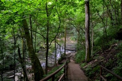
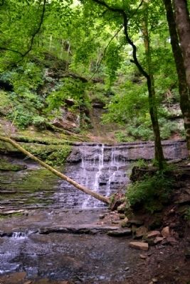
Near Williamsport in Hickman County, Tennessee — The American South (East South Central)
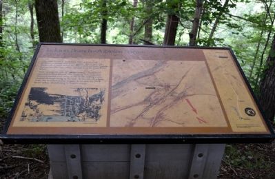
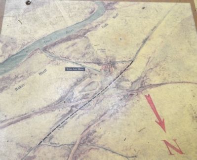
Jackson Branch – A Stolen Stream
Then, in a classic case of “stream piracy,” Duck River captured the Jackson Branch. The flooding river and other erosional agents wore away at the bluffs, cutting a new channel through faults in the rock. At the site of Jackson Falls, the diverted stream slipped down into Duck River valley, abandoning its former course.
Erected by National Park Service.
Topics and series. This historical marker is listed in this topic list: Natural Features. In addition, it is included in the Natchez Trace series list.
Location. 35° 41.786′ N, 87° 17.66′ W. Marker is near Williamsport, Tennessee, in Hickman County. Marker can be reached from Natchez Trace Parkway (at milepost 404.7), 3.1 miles south of Williamsport Pike (Tennessee Route 50), on the right when traveling north. Marker is located at the Jackson Falls turnout along the trail from the parking lot to Jackson Falls. Touch for map. Marker is in this post office area: Duck River TN 38454, United States of America. Touch for directions.
Other nearby markers. At least 8 other markers are within 3 miles of this marker , measured as the crow flies. Natchez Trace Parkway (about 300 feet away, measured in a direct line); Highland Rim Section (about 300 feet away); Welcome! (about 300 feet away); The Family Farm ... Working in Harmony with the Environment (approx. 0.4 miles away); Old Trace Walk (approx. 0.9 miles away); Old Well Cemetery (approx. 1.3 miles away); The Tobacco Barn (approx. 2.3 miles away); The Natchez Trace at the Tobacco Farm (approx. 2.3 miles away). Touch for a list and map of all markers in Williamsport.
Also see . . . Natchez Trace. Official National Park Service website. (Submitted on June 21, 2015.)
Credits. This page was last revised on June 16, 2016. It was originally submitted on June 21, 2015, by Duane Hall of Abilene, Texas. This page has been viewed 552 times since then and 18 times this year. Photos: 1, 2, 3, 4, 5, 6. submitted on June 21, 2015, by Duane Hall of Abilene, Texas.
