Near Williamsport in Maury County, Tennessee — The American South (East South Central)
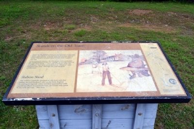
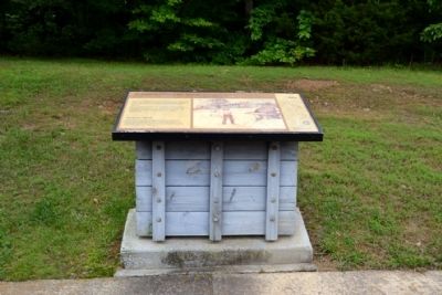
Stands on the Old Trace
At government request, the Chickasaw tribe permitted the establishment of inns or “stands” at one-day intervals through their lands – but only if Indians were the proprietors. One such stand known as “Sheboss” once operated near here, although the exact location is unknown.
Sheboss Stand
The widow Cranfield operated an inn here with her Indian second-husband who spoke little English. According to legend, when travelers approached with questions about accommodations, he would only point to his wife and say, “She boss”.
Erected by National Park Service.
Topics and series. This historical marker is listed in these topic lists: Industry & Commerce • Native Americans • Roads & Vehicles. In addition, it is included in the Natchez Trace series list.
Location. 35° 39.542′ N, 87° 19.509′ W. Marker is near Williamsport, Tennessee, in Maury County. Marker can be reached from Natchez Trace Parkway (at milepost 400.2), 7.6 miles south of Williamsport Pike (Tennessee Route 50), on the right when traveling north. Marker is located at the Sheboss Place turnout. Touch for map. Marker is in this post office area: Hampshire TN 38461, United States of America. Touch for directions.
Other nearby markers. At least 8 other markers are within 4 miles of this marker, measured as the crow flies. Tobacco Farm - Old Trace (approx. 0.8 miles away); The Natchez Trace at the Tobacco Farm (approx. 0.8 miles away); Tennessee Tobacco Farm (approx. 0.8 miles away); The Tobacco Barn (approx. 0.8 miles away); Old Well Cemetery (approx. 2 miles away); Old Trace Walk (approx. 2.6 miles away); Lands of the Chickasaw (approx. 3 miles away); Jackson Branch – A Stolen Stream (approx. 3.1 miles away). Touch for a list and map of all markers in Williamsport.
Also see . . . Natchez Trace. Official National Park Service website. (Submitted on June 22, 2015.)
Credits. This page was last revised on June 16, 2016. It was originally submitted on June 22, 2015, by Duane Hall of Abilene, Texas. This page has been viewed 505 times since then and 34 times this year. Photos: 1, 2, 3. submitted on June 22, 2015, by Duane Hall of Abilene, Texas.


