Near College Corner in Preble County, Ohio — The American Midwest (Great Lakes)
Historic Hopewell / Historic Hopewell Cemetery
Inscription.
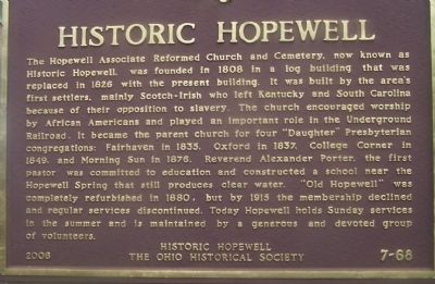
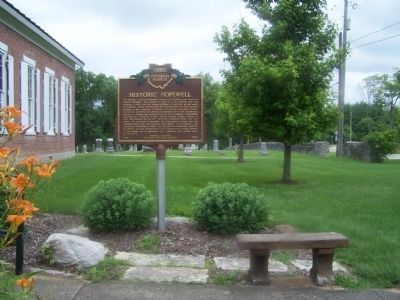
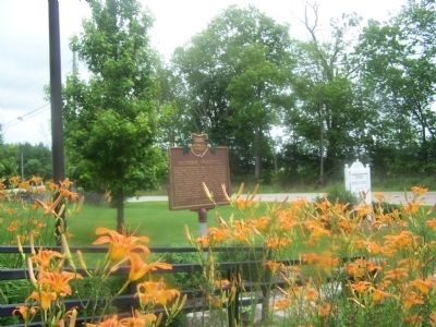
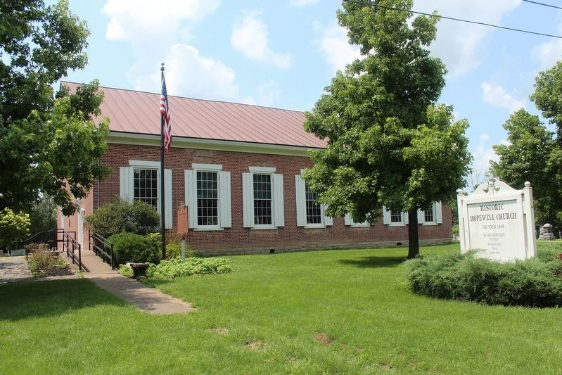
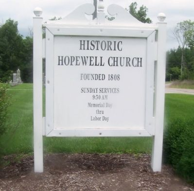
Historic Hopewell. The Hopewell Associate Reformed Church and Cemetery, now known as Historic Hopewell, was founded in 1808 in a log building that was replaced in 1826 with the present building. It was built by the area's first settlers, mainly Scotch-Irish who left Kentucky and South Carolina because of their opposition to slavery. The church encouraged worship by African Americans and played an important role in the Underground Railroad. It became the parent church for four "Daughter" Presbyterian congregations: Fairhaven in 1835, Oxford in 1837, College Corner in 1849, and Morning Sun in 1876. Reverend Alexander Porter, the first pastor, was committed to education and constructed a school near the Hopewell Spring that still produces clear water. "Old Hopewell" was completely refurbished in 1880, but by 1915 the membership declined and regular services discontinued. Today Hopewell holds Sunday services in the summer and is maintained by a generous and devoted group of volunteers.
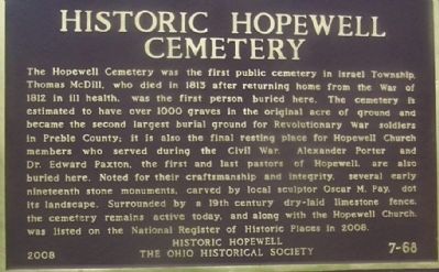
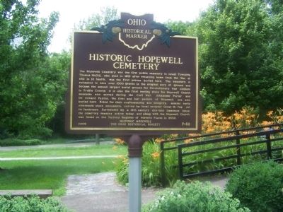
Historic Hopewell Cemetery. The Hopewell Cemetery was the first public cemetery in Israel Township. Thomas McDill, who died in 1813 after returning home from the War of 1812 in ill health, was the first person buried here. The cemetery is estimated to have over 1000 graves in the original acre of ground and became the second largest
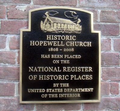
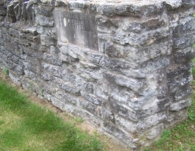
burial ground for Revolutionary War soldiers in Preble County; it is also the final resting place for Hopewell Church members who served during the Civil War. Alexander Porter and Dr. Edward Paxton, the first and last pastors of Hopewell, are also buried here. Noted for their craftsmanship and integrity, several early nineteenth stone monuments, carved by local sculptor Oscar M. Pay, dot its landscape. Surrounded by a 19th century dry-laid limestone fence, the cemetery remains active today, and along with the Hopewell Church, was listed on the National Register of Historic Places in 2008Erected 2008 by Historic Hopewell The Ohio Historical Socoety. (Marker Number 7- 68.)
Topics and series. This historical marker is listed in these topic lists: Abolition & Underground RR • Cemeteries & Burial Sites • Churches & Religion. In addition, it is included in the Ohio Historical Society / The Ohio History Connection series list. A significant historical year for this entry is 1808.
Location. 39° 36.178′ N, 84° 45.614′ W. Marker is near College Corner, Ohio, in Preble County. Marker is on Camden College Corner Rd (County Route 24), on the right when traveling south. Touch for map. Marker is at or near this postal address: 6471 Camden College Corner Rd, College Corner OH 45003, United States of America. Touch for directions.
Other nearby markers. At least 8 other markers are within 6 miles
of this marker, measured as the crow flies. Bunker Hill House (approx. 2.4 miles away); The Doty Settlement / The Pioneer Farmstead (approx. 3 miles away); The Restoration Movement / Doty Settlement Cemetery (approx. 3.1 miles away); The Union School 1893-2004 (approx. 3.6 miles away); College Corner Veterans Memorial (approx. 3.8 miles away in Indiana); Wanted by the FBI / Captured by G-Men (approx. 4 miles away in Indiana); a different marker also named College Corner Veterans Memorial (approx. 4.1 miles away in Indiana); The Black (Pugh's Mill) Covered Bridge (approx. 5.6 miles away).
Credits. This page was last revised on July 19, 2021. It was originally submitted on June 25, 2015, by Rev. Ronald Irick of West Liberty, Ohio. This page has been viewed 970 times since then and 122 times this year. Photos: 1, 2, 3, 4, 5. submitted on June 25, 2015, by Rev. Ronald Irick of West Liberty, Ohio. 6. submitted on July 18, 2021, by Robert Baughman of Bellefontaine, Ohio. 7, 8, 9. submitted on June 25, 2015, by Rev. Ronald Irick of West Liberty, Ohio. • Bill Pfingsten was the editor who published this page.
