
Near Houston in Chickasaw County, Mississippi — The American South (East South Central)
Bynum Mounds
Photographed by Duane Hall, June 4, 2015
1. Bynum Mounds Marker
(Marker #1)
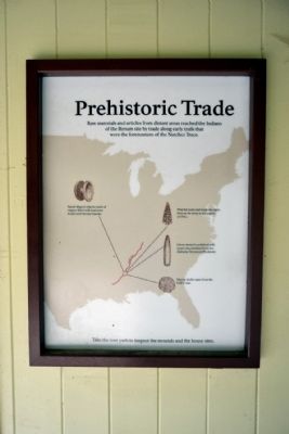
Prehistoric Trade
Raw materials and articles from distant areas reached the Indians of the Bynum site by trade along trails that were the forerunners of the Natchez Trace.
- Spool-shaped objects made of copper filled with lead were found with Bynum burials.
- Flint for tools and weapons came from as far away as the region of Ohio.
- Green stone for polished celts (axes) was obtained from the Alabama-Tennessee Piedmont.
- Marine shells came from the Gulf Coast.
(Marker #2)
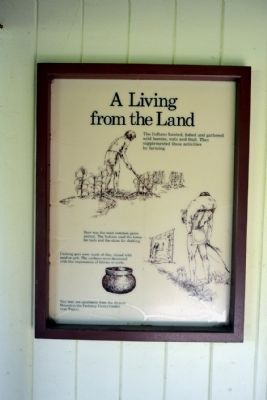
A Living from the Land
The Indians hunted, fished and gathered wild berries, nuts and fruit. They supplemented these activities by farming.
Deer was the most common game animal. The Indians used the bones for tools and the skins for clothing.
Cooking pots were made of clay, mixed with sand or grit. The surfaces were decorated with the impressions of fabrics or cords.
You may see specimens from the Bynum Mounds in the Parkway Visitor Center near Tupelo.
Erected by National Park Service.
Topics and series. This historical marker is listed in these topic lists: Indigenous Peoples and Communities • Settlements & Settlers. In addition, it is included in the Natchez Trace series list.
Location. 33° 53.891′ N, 88° 56.917′ W. Marker is near Houston, Mississippi, in Chickasaw County. It can be reached from Natchez Trace Parkway (at milepost 232.4), 2.6 miles north of Mississippi Highway 8, on the right when traveling north. Marker is located at the Bynum Mounds turnoff from the Natchez Trace Parkway. Touch for map. Marker is in this post office area: Houston MS 38851, United States of America. Touch for directions.

Regionally, this marker is in the Black Prairie and in the North Mississippi Hills.
this page online
Other nearby markers. At least 8 other markers are within 3 miles of this marker, measured as the crow flies: Booker "Bukka" White (approx. 2.6 miles away); Parkersburg Depot (approx. 2.7 miles away); 1927 Schoolhouse (approx. 2.8 miles away); Light Columns (approx. 2.8 miles away); Pinson Square (approx. 2.9 miles away); Chickasaw County CSA Monument (approx. 2.9 miles away); Chickasaw County Veterans Memorial (approx. 2.9 miles away); Natchez Trace Through Chickasaw County (approx. 3 miles away). Touch for a list and map of all markers in Houston.
Also see . . .
1. Bynum Mound and Village Site. Wikipedia entry (Submitted on May 8, 2024, by Larry Gertner of New York, New York.)
2. Natchez Trace. Official National Park Service website.
Photographed by Duane Hall, June 4, 2015
2. Bynum Mounds Marker
Photographed by Duane Hall, June 4, 2015
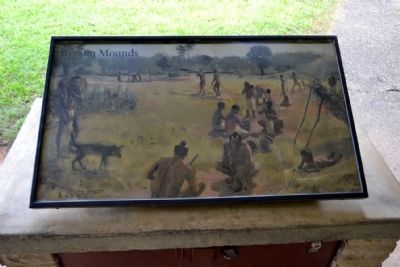
3. Drawing of Village
Photographed by Duane Hall, June 4, 2015
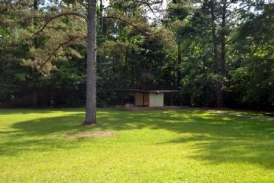
4. Bynum Mounds Markers Exhibit Kiosk
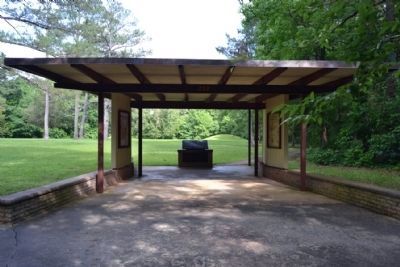
Photographed by Duane Hall, June 4, 2015
5. Marker Exhibit Kiosk for Bynum Mounds
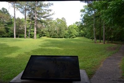
Photographed by Duane Hall, June 4, 2015
6. Bynum Mounds as Viewed from Exhibit Kiosk
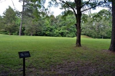
Photographed by Duane Hall, June 4, 2015
7. On Path to Bynum Mounds
Photographed by Duane Hall, June 4, 2015
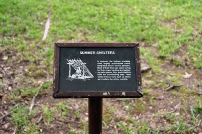
8. Summer Shelters Info Sign
In summer the Indians probably lived largely out-of-doors under temporary brush lean-to shelters. Most of their time was spent caring for their crops, hunting, and gathering wild plants, fish, and shellfish from the surrounding area. New winter homes were built as necessary before the winter months.
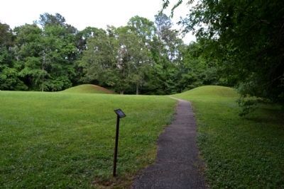
Photographed by Duane Hall, June 4, 2015
9. Path to Bynum Mounds
Photographed by Duane Hall, June 4, 2015
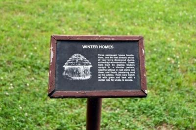
10. Winter Homes Info Sign
Three permanent house foundations, one 80 feet directly ahead of you, were discovered during archeological excavations. These were built by placing timbers upright in a circular pattern, weaving willows or reed stems into them, and finally plastering mud on the outside. Roofs were thatched with grass and bark with a center hole for smoke to escape.
Photographed by Duane Hall, June 4, 2015
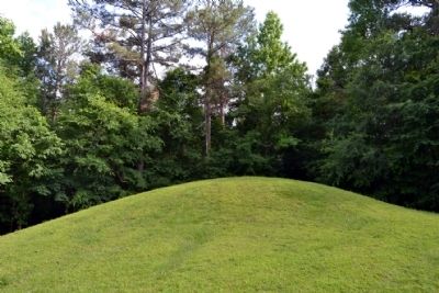
11. Mound
Photographed by Duane Hall, June 4, 2015
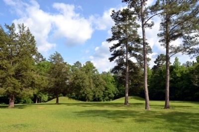
12. Bynum Mounds
Credits. This page was last revised on May 8, 2024. It was originally submitted on June 30, 2015, by Duane Hall of Abilene, Texas. This page has been viewed 1,033 times since then and 59 times this year. Photos: 1, 2, 3, 4, 5, 6, 7, 8, 9, 10, 11, 12. submitted on June 30, 2015, by Duane Hall of Abilene, Texas.
