Holly Springs in Marshall County, Mississippi — The American South (East South Central)
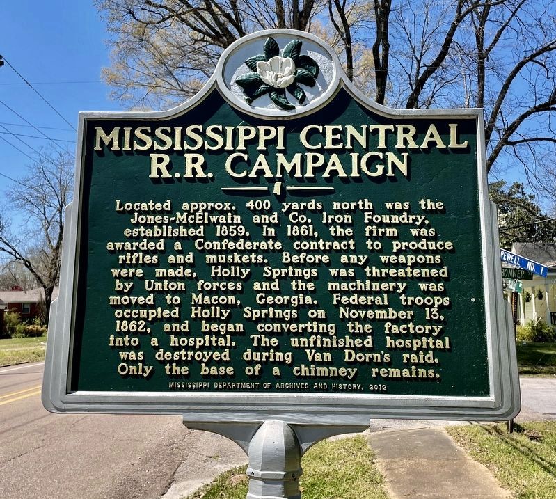
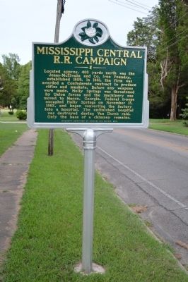
Mississippi Central R.R. Campaign
Erected 2012 by Mississippi Department of Archives and History.
Topics and series. This historical marker is listed in this topic list: War, US Civil. In addition, it is included in the Mississippi State Historical Marker Program series list. A significant historical month for this entry is November 1832.
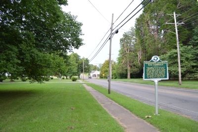
Location. 34° 46.317′ N, 89° 26.2′ W. Marker is in Holly Springs, Mississippi, in Marshall County. Marker is at the intersection of East Salem Avenue (State Highway 4) and Bonner Street, on the left when traveling east on East Salem Avenue. Touch for map. Marker is in this post office area: Holly Springs MS 38635, United States of America. Touch for directions.
Other nearby markers. At least 8 other markers are within walking distance of this marker. Sherwood Bonner (McDowell) (within shouting distance of this marker); Airliewood (about 600 feet away, measured in a direct line); a different marker also named Airliewood (about 700 feet away); Mississippi Central Railroad (approx. 0.3 miles away); Walthall Home (approx. 0.4 miles away); Ida B. Wells (approx. 0.6 miles away); COFO & Rust College Civil Rights Monument (approx. 0.7 miles away); Rust College (approx. 0.7 miles away). Touch for a list and map of all markers in Holly Springs.
Credits. This page was last revised on April 4, 2021. It was originally submitted on July 6, 2015, by Phillip Knecht of Holly Springs, Mississippi. This page has been viewed 378 times since then and 21 times this year. Photos: 1. submitted on April 4, 2021, by Mark Hilton of Montgomery, Alabama. 2, 3, 4. submitted on July 6, 2015, by Phillip Knecht of Holly Springs, Mississippi. • Bernard Fisher was the editor who published this page.


